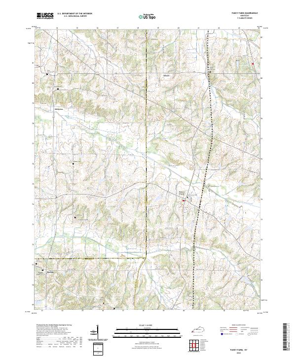
2022 Map of Fancy Farm
USGS Topo · Published 2022About this map
Fancy Farm anchors this western Kentucky landscape, situated near the intersection of the Graves, Carlisle, and Hickman county lines. The community is characterized by its Catholic heritage, evidenced by the central Saint Jerome Cem and nearby rural parishes like Saint Dennis Cem and Saint Charles Cem. The terrain is a network of small watercourses including Goose Creek, W Fork Mayfield Cr, and Barnes Cr, which drain the agricultural plots and woodlots that dominate the region.
Find a feature on this map
83 named features on this map. Tap any name to fly to it.
Don’t see what you’re looking for? This feature index may not catch every label — zoom into the map to look around manually.
Map Details
Editions of this 2022 Fancy Farm Map
This is the sole edition of this map. No revisions or reprints were ever made.
Other maps of this area

1936 · Melber
USGS Topo · 1:24,000

1951 · Blandville
USGS Topo · 1:24,000

1951 · Milburn
USGS Topo · 1:24,000

1951 · Melber
USGS Topo · 1:24,000

1951 · Hickory
USGS Topo · 1:24,000

1951 · Hickory
USGS Topo · 1:62,500

1952 · Clinton
USGS Topo · 1:24,000

1952 · Mayfield
USGS Topo · 1:24,000

1952 · Dublin
USGS Topo · 1:24,000

1952 · Fancy Farm
USGS Topo · 1:24,000