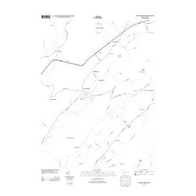
2013 Map of Fannettsburg
USGS Topo · Published 2013About this map
Fannettsburg and the surrounding Path Valley communities are shown in this 2013 survey, defined by the narrow corridors between the steep ridgelines of Kittatinny Mountain and the Tuscarora range. The landscape is characterized by its reliance on water and topography, with historical infrastructure like Hoovers Mill and Kuhns Mill situated along the many creek crossings. The western edge is dominated by the Tuscarora Tunnel, a critical passage through the mountain wall, while the valley floor is dotted with small settlements such as Willow Hill, Springtown, and Boggstown.
Find a feature on this map
73 named features on this map. Tap any name to fly to it.
Don’t see what you’re looking for? This feature index may not catch every label — zoom into the map to look around manually.
Map Details
Editions of this 2013 Fannettsburg Map
This is the sole edition of this map. No revisions or reprints were ever made.
Other maps of this area

1900 · Mercersburg
USGS Topo · 1:62,500

1902 · Chambersburg
USGS Topo · 1:62,500

1902 · Mercersburg
USGS Topo · 1:62,500

1923 · Shippensburg
USGS Topo · 1:62,500

1939 · Orbisonia
USGS Topo · 1:62,500

1940 · Orbisonia
USGS Topo · 1:62,500

1942 · Hagerstown
USGS Topo · 1:125,000

1943 · Hagerstown
USGS Topo · 1:125,000

1943 · Chambersburg
USGS Topo · 1:62,500

1943 · Mercersburg
USGS Topo · 1:62,500
Featured Places
- Metal Township, PA
- Letterkenny Township, PA
- Hamilton Township, PA
- Mountain Green, Metal Township
- Boggstown, Metal Township