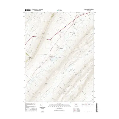
2016 Map of Fannettsburg
USGS Topo · Published 2016About this map
Fannettsburg and the surrounding Metal Township settlements occupy the fertile corridors of Path Valley, framed by the steep ridges of Tuscarora Mountain and Kittatinny Mountain. This 2016 survey shows a landscape defined by its narrow valleys and persistent agrarian character, where small communities like Springtown, Boggstown, and Willow Hill are connected by Path Valley Rd. The topographic detail reveals the engineering of the Tuscarora Tunnel cutting through the western ridge, while numerous gaps such as Keefer Gap and Skinner Gap provide natural passage between the ridges. The hydrology is dominated by the West Branch Conococheague Creek and Conodoguinet Cr, which drain the distinct basins of Carrick Valley and Horse Valley. Local history is anchored by several burial sites, including Lower Path Valley Cem and the remote Horse Valley Cem, providing a clear map of local genealogy.
Find a feature on this map
90 named features on this map. Tap any name to fly to it.
Don’t see what you’re looking for? This feature index may not catch every label — zoom into the map to look around manually.
Map Details
Editions of this 2016 Fannettsburg Map
This is the sole edition of this map. No revisions or reprints were ever made.
Other maps of this area

1900 · Mercersburg
USGS Topo · 1:62,500

1902 · Chambersburg
USGS Topo · 1:62,500

1902 · Mercersburg
USGS Topo · 1:62,500

1923 · Shippensburg
USGS Topo · 1:62,500

1939 · Orbisonia
USGS Topo · 1:62,500

1940 · Orbisonia
USGS Topo · 1:62,500

1942 · Hagerstown
USGS Topo · 1:125,000

1943 · Hagerstown
USGS Topo · 1:125,000

1943 · Chambersburg
USGS Topo · 1:62,500

1943 · Mercersburg
USGS Topo · 1:62,500
Featured Places
- Metal Township, PA
- Letterkenny Township, PA
- Hamilton Township, PA
- Mountain Green, Metal Township
- Boggstown, Metal Township