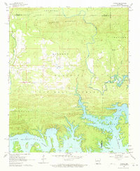
1962 Map of Fannie
USGS Topo · Published 1973About this map
Lake Ouachita dominates the southern half of this landscape, its intricate, branching shoreline reaching deep into the Ouachita National Forest. The map captures the area shortly after the mid-century creation of the reservoir, showing how the rising waters reshaped the terrain around the Ouachita River and its tributaries like the Irons Fork. Small landings and settlement points, such as Little Fir Landing and Avant Landing, mark the new waterfront economy that replaced the original river valley culture.
Find a feature on this map
26 named features on this map. Tap any name to fly to it.
Don’t see what you’re looking for? This feature index may not catch every label — zoom into the map to look around manually.
Map Details
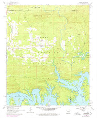
Editions of this 1962 Fannie Map
3 editions found

Other maps of this area

1890 · Mount Ida
USGS Topo · 1:125,000

1890 · Hot Springs
USGS Topo · 1:125,000

1894 · Hot Springs
USGS Topo · 1:125,000

1955 · Little Rock
USGS Topo · 1:250,000

1956 · Little Rock
USGS Topo · 1:250,000

1959 · Mount Ida
USGS Topo · 1:62,500

1960 · Little Rock
USGS Topo · 1:250,000

1960 · Gravelly
USGS Topo · 1:62,500

1962 · Crystal Springs
USGS Topo · 1:24,000

1962 · Avant
USGS Topo · 1:24,000