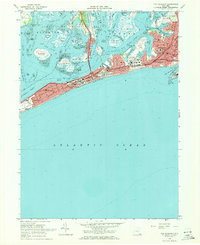
1969 Map of Far Rockaway
USGS Topo · Published 1971About this map
Jamaica Bay Wildlife Refuge dominates the northern half of this late-1960s survey, a complex network of marshes and tidal flats including Ruffle Bar and Canarsie Pol. The map documents the dense residential and recreational development along the Rockaway Peninsula, from the quiet streets of Neponsit to the bustling amusement area at Rockaway Playland. The barrier island is heavily urbanized, connected to the mainland by the Cross Bay Bridge and the Marine Parkway Toll Bridge.
Find a feature on this map
92 named features on this map. Tap any name to fly to it.
Don’t see what you’re looking for? This feature index may not catch every label — zoom into the map to look around manually.
Map Details
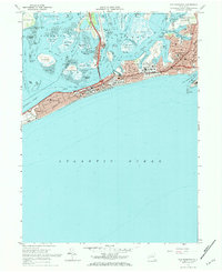
Editions of this 1969 Far Rockaway Map
2 editions found
Other maps of this area

1889 · Brooklyn
USGS Topo · 1:62,500

1891 · Brooklyn
USGS Topo · 1:62,500

1897 · Brooklyn
USGS Topo · 1:62,500

1897 · Hempstead
USGS Topo · 1:62,500

1898 · Hempstead
USGS Topo · 1:62,500

1898 · Brooklyn
USGS Topo · 1:62,500

1899 · Hempstead
USGS Topo · 1:62,500

1900 · Brooklyn
USGS Topo · 1:62,500

1903 · Hempstead
USGS Topo · 1:62,500
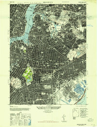
1947 · Brooklyn
USGS Topo · 1:24,000