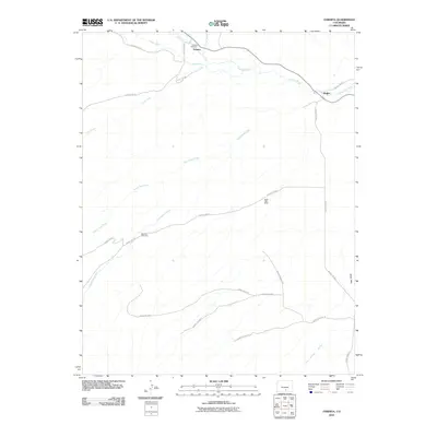
2010 Map of Farisita
USGS Topo · Published 2010About this map
The Huerfano River valley defines the northern reaches of this Colorado landscape, where the small settlements of Farisita and Badito sit along the winding watercourse. The map reveals a high-desert environment deeply etched by drainage systems like South Oak Creek and Yellowstone Creek, flowing toward the river from the south. This area serves as a focal point for local genealogy and history, specifically through sites like the Farisita Cemetery and Sanches Cemetery, which are preserved alongside the modern road network of County Rd 540 and County Rd 520.
Find a feature on this map
23 named features on this map. Tap any name to fly to it.
Don’t see what you’re looking for? This feature index may not catch every label — zoom into the map to look around manually.
Map Details
Editions of this 2010 Farisita Map
This is the sole edition of this map. No revisions or reprints were ever made.
Other maps of this area

1889 · Huerfano Park
USGS Topo · 1:125,000

1891 · Walsenburg
USGS Topo · 1:125,000

1892 · Huerfano Park
USGS Topo · 1:125,000

1894 · Walsenburg
USGS Topo · 1:125,000

1897 · Walsenburg
USGS Topo · 1:125,000

1900 · Walsenburg
USGS Topo · 1:125,000

1954 · Trinidad
USGS Topo · 1:250,000

1955 · Trinidad
USGS Topo · 1:250,000

1958 · Trinidad
USGS Topo · 1:250,000

1959 · Trinidad
USGS Topo · 1:250,000