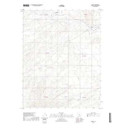
2019 Map of Farisita
USGS Topo · Published 2019About this map
The Huerfano River valley serves as the primary corridor for settlement in this Huerfano County landscape, where the small community of Farisita sits at the confluence with Turkey Cr. Agricultural reliance on the river is evident through the irrigation systems of the Garcia Ditch and the Martin Ditch Number 2. These waterworks supported the small-scale ranching and farming operations that define the region's heritage. Local genealogy is anchored by sites like Farisita Cem and the Sanches Cem, which mark the presence of established families in the area.
Find a feature on this map
38 named features on this map. Tap any name to fly to it.
Don’t see what you’re looking for? This feature index may not catch every label — zoom into the map to look around manually.
Map Details
Editions of this 2019 Farisita Map
This is the sole edition of this map. No revisions or reprints were ever made.
Other maps of this area

1889 · Huerfano Park
USGS Topo · 1:125,000

1891 · Walsenburg
USGS Topo · 1:125,000

1892 · Huerfano Park
USGS Topo · 1:125,000

1894 · Walsenburg
USGS Topo · 1:125,000

1897 · Walsenburg
USGS Topo · 1:125,000

1900 · Walsenburg
USGS Topo · 1:125,000

1954 · Trinidad
USGS Topo · 1:250,000

1955 · Trinidad
USGS Topo · 1:250,000

1958 · Trinidad
USGS Topo · 1:250,000

1959 · Trinidad
USGS Topo · 1:250,000