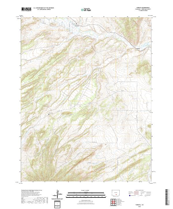
2022 Map of Farisita
USGS Topo · Published 2022About this map
Farisita and Badito sit at the edge of a high-country irrigation network where the Huerfano River flows through the northern reaches of this Huerfano County landscape. Human settlement is defined by water management and ancestral grounds, evidenced by the Garcia Ditch and Martin Ditch Number 2 which draw from the river to support the surrounding acreage. Local history is anchored by the Farisita Cem near the river and the Sanches Cem further south along Co RD 531. The southern terrain transitions into a complex system of drainage and seasonal water sources, including Yellowstone Cr, Horse Spring, and Dog Springs Arroyo. This 2022 survey captures the persistent rural character of the region, where a network of county roads like Co RD 520 and Bighorn DR provides access to remote landmarks and high-elevation springs.
Find a feature on this map
35 named features on this map. Tap any name to fly to it.
Don’t see what you’re looking for? This feature index may not catch every label — zoom into the map to look around manually.
Map Details
Editions of this 2022 Farisita Map
This is the sole edition of this map. No revisions or reprints were ever made.
Other maps of this area

1889 · Huerfano Park
USGS Topo · 1:125,000

1891 · Walsenburg
USGS Topo · 1:125,000

1892 · Huerfano Park
USGS Topo · 1:125,000

1894 · Walsenburg
USGS Topo · 1:125,000

1897 · Walsenburg
USGS Topo · 1:125,000

1900 · Walsenburg
USGS Topo · 1:125,000

1954 · Trinidad
USGS Topo · 1:250,000

1955 · Trinidad
USGS Topo · 1:250,000

1958 · Trinidad
USGS Topo · 1:250,000

1959 · Trinidad
USGS Topo · 1:250,000