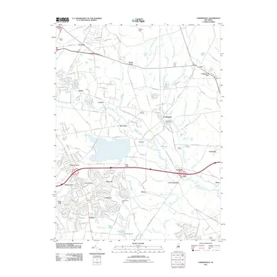
1954 Map of Farmingdale
USGS Topo · Published 1954About this map
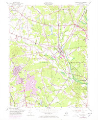
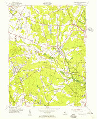
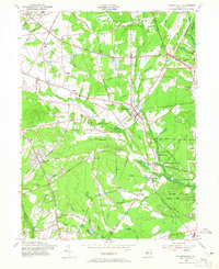
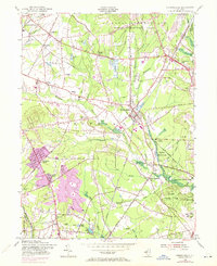
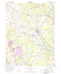
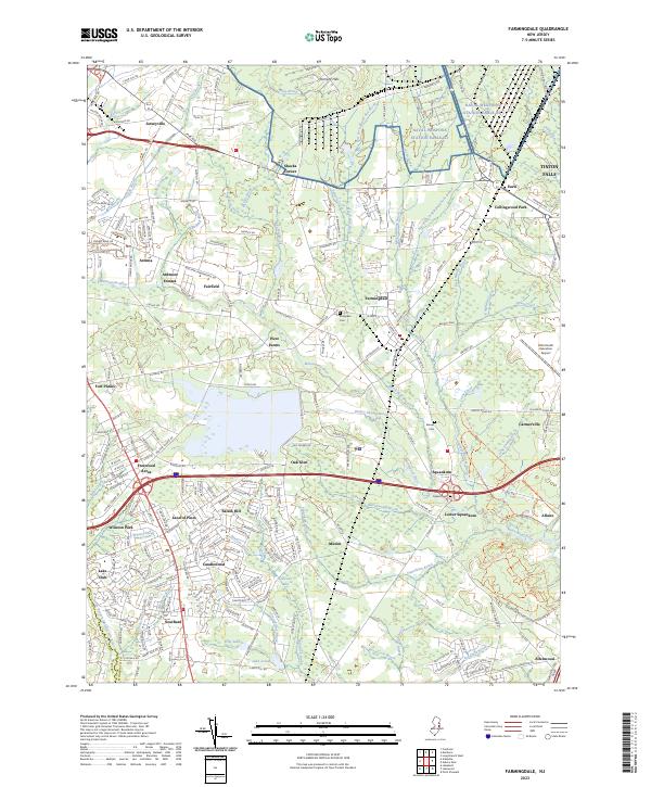
U S Naval Reservation Earle Ammunition Depot dominates the northern landscape of this mid-century Monmouth County survey, illustrating the significant military footprint in the region during the Cold War era. Centered on the borough of Farmingdale, the map reveals a transition from traditional rural activities—marked by numerous bogs like Cranberry Bog and Marsh Bog—to modern suburban development and recreation. The southern portion shows the establishment of residential clusters such as Freewood Acres and Land of Pines, while the Manasquan River and Allaire State Park provide a preserved natural corridor to the east.
Find a feature on this map
69 named features on this map. Tap any name to fly to it.
Don’t see what you’re looking for? This feature index may not catch every label — zoom into the map to look around manually.
Map Details
Editions of this 1954 Farmingdale Map
6 editions found
Historical Maps of Howell Township Through Time
9 maps found
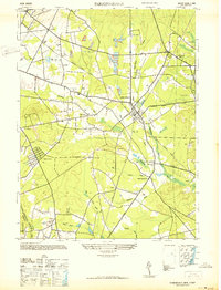
1942 Farmingdale
Monmouth County, NJ
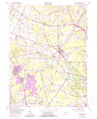
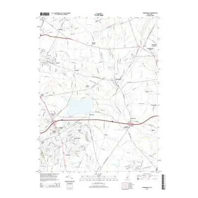
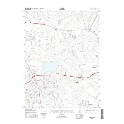
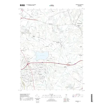
1954 Farmingdale
Monmouth County, NJ
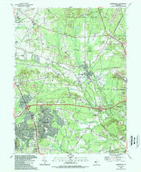
1989 Farmingdale
Monmouth County, NJ

1995 Farmingdale
Monmouth County, NJ
2011 Farmingdale
Monmouth County, NJ
2014 Farmingdale
Monmouth County, NJ
2016 Farmingdale
Monmouth County, NJ
2019 Farmingdale
Monmouth County, NJ
2023 Farmingdale
Monmouth County, NJ