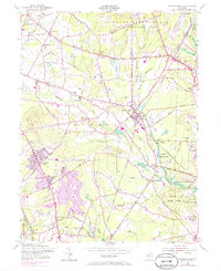
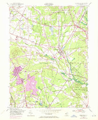
1954 Map of Farmingdale
USGS Topo · Published 1985About this map
Farmingdale serves as a central hub in this coastal New Jersey landscape, where the confluence of the Penn Central and Central RR of New Jersey lines illustrates a significant era of rail transport. To the north, the expansive U S Naval Reservation Earle Ammunition Depot dominates the territory, its restricted boundaries contrasting with the emerging residential developments like Freewood Acres and Land of Pines in the south.
Find a feature on this map
66 named features on this map. Tap any name to fly to it.
Don’t see what you’re looking for? This feature index may not catch every label — zoom into the map to look around manually.
Map Details
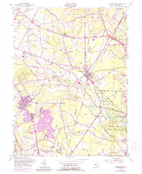
Editions of this 1954 Farmingdale Map
6 editions found
Other maps of this area

1888 · New Brunswick
USGS Topo · 1:62,500

1888 · Asbury Park
USGS Topo · 1:62,500

1888 · Cassville
USGS Topo · 1:62,500

1888 · Sandy Hook
USGS Topo · 1:62,500

1893 · New Brunswick
USGS Topo · 1:62,500

1893 · Sandy Hook
USGS Topo · 1:62,500

1893 · Asbury Park
USGS Topo · 1:62,500

1894 · Cassville
USGS Topo · 1:62,500

1900 · Cassville
USGS Topo · 1:62,500

1901 · New Brunswick
USGS Topo · 1:62,500