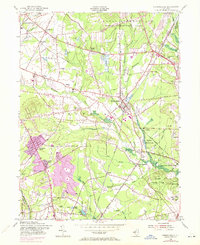
1954 Map of Farmingdale
USGS Topo · Published 1972About this map
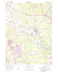
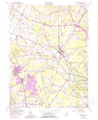
Farmingdale sits at the heart of this Monmouth County landscape, where the Penn Central railroad corridors converge amid a network of brooks and bogs. The mid-century development of the area is visible through the expansion of residential clusters like Freewood Acres and Land of Pines, contrasting with the significant military presence of the U S Naval Reservation Earle Ammunition Depot to the north.
Find a feature on this map
66 named features on this map. Tap any name to fly to it.
Don’t see what you’re looking for? This feature index may not catch every label — zoom into the map to look around manually.
Map Details
Editions of this 1954 Farmingdale Map
6 editions found
Other maps of this area

1888 · New Brunswick
USGS Topo · 1:62,500

1888 · Asbury Park
USGS Topo · 1:62,500

1888 · Cassville
USGS Topo · 1:62,500

1888 · Sandy Hook
USGS Topo · 1:62,500

1893 · New Brunswick
USGS Topo · 1:62,500

1893 · Sandy Hook
USGS Topo · 1:62,500

1893 · Asbury Park
USGS Topo · 1:62,500

1894 · Cassville
USGS Topo · 1:62,500

1900 · Cassville
USGS Topo · 1:62,500

1901 · New Brunswick
USGS Topo · 1:62,500