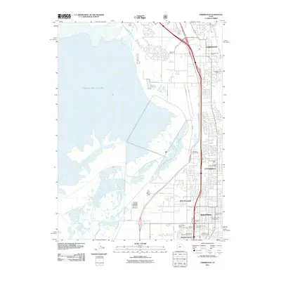
2011 Map of Farmington
USGS Topo · Published 2011About this map
The Great Salt Lake shoreline dominates the western half of this Davis County corridor, where the narrow bench of land between the water and the mountains hosts a dense sequence of Utah settlements. This 2011 survey details the suburban and industrial landscape of Farmington, Centerville, and Bountiful as they appeared in the early 21st century. The map illustrates a complex transportation and commercial network, featuring the Legacy Parkway and significant rail infrastructure like the Farmington Siding.
Find a feature on this map
44 named features on this map. Tap any name to fly to it.
Don’t see what you’re looking for? This feature index may not catch every label — zoom into the map to look around manually.
Map Details
Editions of this 2011 Farmington Map
This is the sole edition of this map. No revisions or reprints were ever made.
Other maps of this area

1885 · Salt Lake
USGS Topo · 1:250,000

1885 · Tooele Valley
USGS Topo · 1:250,000

1925 · Ft. Douglas
USGS Topo · 1:125,000

1928 · Ft. Douglas
USGS Topo · 1:125,000

1950 · Fort Douglas
USGS Topo · 1:24,000

1951 · Fort Douglas
USGS Topo · 1:24,000

1951 · Saltair
USGS Topo · 1:24,000

1951 · Salt Lake City North
USGS Topo · 1:24,000

1952 · Saltair NE
USGS Topo · 1:24,000

1952 · Farmington
USGS Topo · 1:24,000