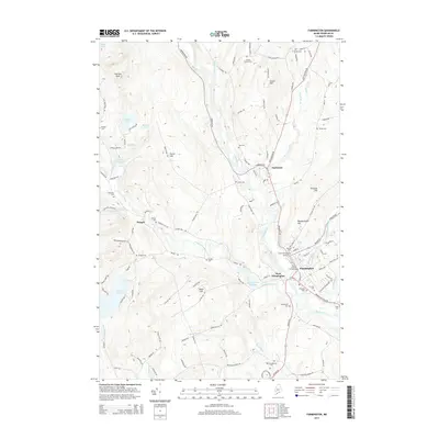
2014 Map of Farmington
USGS Topo · Published 2014About this map
Farmington and its surrounding villages serve as the anchor for this Franklin County landscape, where the Sandy River winds through a valley defined by prominent elevations like Titcomb Hill and Voter Hill. The presence of the Univ of Maine at Farmington marks the town's role as a regional educational hub, while the dense network of cemeteries, including the centrally located Center Burying Ground and the outlying Hunter French Cem, provides a detailed record for genealogical study.
Find a feature on this map
121 named features on this map. Tap any name to fly to it.
Don’t see what you’re looking for? This feature index may not catch every label — zoom into the map to look around manually.
Map Details
Editions of this 2014 Farmington Map
This is the sole edition of this map. No revisions or reprints were ever made.
Other maps of this area

1924 · Farmington
USGS Topo · 1:62,500

1926 · Dixfield
USGS Topo · 1:62,500

1929 · Phillips
USGS Topo · 1:48,000

1929 · Dixfield
USGS Topo · 1:62,500

1930 · Kingfield
USGS Topo · 1:48,000

1932 · Phillips
USGS Topo · 1:62,500

1932 · Kingfield
USGS Topo · 1:62,500

1950 · Lewiston
USGS Topo · 1:250,000

1956 · Dixfield
USGS Topo · 1:48,000

1956 · Farmington
USGS Topo · 1:62,500