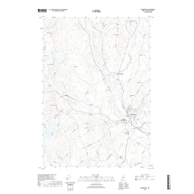
2018 Map of Farmington
USGS Topo · Published 2018About this map
The Univ of Maine at Farmington anchor the educational landscape of this Franklin County region, where the Sandy River winds south through Fairbanks and Farmington. This 2018 survey documents a densely layered history of settlement, evidenced by nearly twenty named cemeteries, including the centrally located Center Burying Ground and the Red Schoolhouse Cem near Hardy Brook. The terrain transitions from the river valley to prominent heights such as Titcomb Hill and Patriots Peak, while the western edge is defined by the significant waters of Varnum Pond and Staples Pond. Local road networks like Clover Mills Rd and Voter Hill Rd reveal the rural development patterns surrounding the village of Temple, providing a precise record of contemporary property boundaries and land use in these classic New England townships.
Find a feature on this map
105 named features on this map. Tap any name to fly to it.
Don’t see what you’re looking for? This feature index may not catch every label — zoom into the map to look around manually.
Map Details
Editions of this 2018 Farmington Map
This is the sole edition of this map. No revisions or reprints were ever made.
Other maps of this area

1924 · Farmington
USGS Topo · 1:62,500

1926 · Dixfield
USGS Topo · 1:62,500

1929 · Phillips
USGS Topo · 1:48,000

1929 · Dixfield
USGS Topo · 1:62,500

1930 · Kingfield
USGS Topo · 1:48,000

1932 · Phillips
USGS Topo · 1:62,500

1932 · Kingfield
USGS Topo · 1:62,500

1950 · Lewiston
USGS Topo · 1:250,000

1956 · Dixfield
USGS Topo · 1:48,000

1956 · Farmington
USGS Topo · 1:62,500