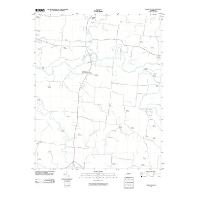
2010 Map of Farmington
USGS Topo · Published 2010About this map
Duck River meanders across this rural Tennessee landscape, anchoring a community defined by its namesake watercourses and dozens of generational burial sites. The northern reach is anchored by the settlement of Chapel Hill, while the interior features the Smyrna community. The map provides an exceptionally high density of genealogical data, recording over two dozen family-named cemeteries including Swanson Cemetery, McQuiddy Cemetery, and Bethbirei Cemetery.
Find a feature on this map
100 named features on this map. Tap any name to fly to it.
Don’t see what you’re looking for? This feature index may not catch every label — zoom into the map to look around manually.
Map Details
Editions of this 2010 Farmington Map
This is the sole edition of this map. No revisions or reprints were ever made.
Other maps of this area

1936 · Chapel Hill
USGS Topo · 1:24,000

1936 · Farmington
USGS Topo · 1:24,000

1936 · Rover
USGS Topo · 1:24,000

1936 · Belfast
USGS Topo · 1:24,000

1936 · Lewisburg
USGS Topo · 1:24,000

1936 · Verona
USGS Topo · 1:24,000

1936 · Rally Hill
USGS Topo · 1:24,000

1936 · Unionville
USGS Topo · 1:24,000

1936 · Bedford
USGS Topo · 1:24,000

1944 · Shelbyville
USGS Topo · 1:100,000