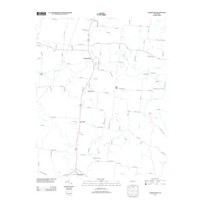
2013 Map of Farmington
USGS Topo · Published 2013About this map
The Duck River meanders through the heart of this landscape, its path marked by several historical crossings including Shearin Ford, Tucker Ford, and White Ford. The settlement of Wilhoite Mills stands near the river's bend, while the small community of Farmington anchors the southern portion of the sheet near Big Spring. The terrain is defined by a series of low-lying ridges and drainage basins, with several named hills such as Clay Hill and Laws Hill rising above the surrounding creek valleys. Numerous local waterways, including Rich Cr, Sutton Cr, and Opossum Cr, feed into the river system, illustrating the agricultural and hydrological layout of Marshall County. Local history is further preserved in the placement of family and community landmarks like the Rocky Acres Airport and various named roads that trace the property lines of long-established holdings.
Find a feature on this map
106 named features on this map. Tap any name to fly to it.
Don’t see what you’re looking for? This feature index may not catch every label — zoom into the map to look around manually.
Map Details
Editions of this 2013 Farmington Map
This is the sole edition of this map. No revisions or reprints were ever made.
Other maps of this area

1936 · Chapel Hill
USGS Topo · 1:24,000

1936 · Farmington
USGS Topo · 1:24,000

1936 · Rover
USGS Topo · 1:24,000

1936 · Belfast
USGS Topo · 1:24,000

1936 · Lewisburg
USGS Topo · 1:24,000

1936 · Verona
USGS Topo · 1:24,000

1936 · Rally Hill
USGS Topo · 1:24,000

1936 · Unionville
USGS Topo · 1:24,000

1936 · Bedford
USGS Topo · 1:24,000

1944 · Shelbyville
USGS Topo · 1:100,000