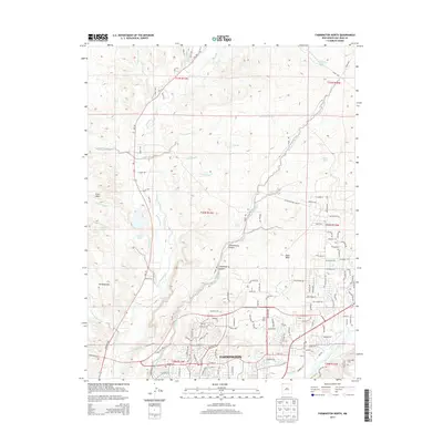
2013 Map of Farmington North
USGS Topo · Published 2013About this map
Farmington sits at the southern edge of this survey, where the valley topography transitions into the high desert plateaus of San Juan County. The landscape is defined by a complex network of arroyos and washes, such as Barker Arroyo and Pickering Arroyo, which feed into the La Plata River as it winds toward its confluence. The intricate water management of the region is evident in the numerous irrigation features like Helton Ditch, Jackson Ditch, and Star Ditch, reflecting the historical reliance on these systems for settlement and agriculture in the arid New Mexico climate.
Find a feature on this map
136 named features on this map. Tap any name to fly to it.
Don’t see what you’re looking for? This feature index may not catch every label — zoom into the map to look around manually.
Map Details
Editions of this 2013 Farmington North Map
This is the sole edition of this map. No revisions or reprints were ever made.
Other maps of this area

1889 · Chaco
USGS Topo · 1:250,000

1892 · Chaco
USGS Topo · 1:250,000

1927 · Sulphur Spring
USGS Topo · 1:96,000

1928 · Kirtland
USGS Topo · 1:125,000

1932 · Kirtland
USGS Topo · 1:125,000

1954 · Shiprock
USGS Topo · 1:250,000

1958 · Shiprock
USGS Topo · 1:250,000

1959 · Shiprock
USGS Topo · 1:250,000
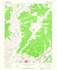
1963 · Farmington North
USGS Topo · 1:24,000
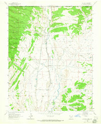
1963 · La Plata
USGS Topo · 1:24,000