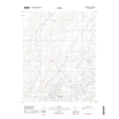
2020 Map of Farmington North
USGS Topo · Published 2020About this map
Farmington sits at the confluence of the desert's vital water systems, where the Animas River meets the northern reach of the city. This 2020 landscape is defined by the contrast between urban expansion and the high desert terrain of Hood Mesa and Pinon Mesa. The map details a sophisticated network of water management, essential for the arid environment, including the Halford Independent Ditch, Jackson Ditch, and Star Ditch. Educational infrastructure is anchored by San Juan College in the heart of the developed area. To the north, the terrain becomes more dramatic, carved by Chokecherry Canyon and several ephemeral arroyos like Barker Arroyo and Pickering Arroyo. The La Plata River winds through the western portion of the quadrangle, serving as a landmark for those tracing the historical development of ranching and irrigation in San Juan County.
Find a feature on this map
174 named features on this map. Tap any name to fly to it.
Don’t see what you’re looking for? This feature index may not catch every label — zoom into the map to look around manually.
Map Details
Editions of this 2020 Farmington North Map
This is the sole edition of this map. No revisions or reprints were ever made.
Other maps of this area

1889 · Chaco
USGS Topo · 1:250,000

1892 · Chaco
USGS Topo · 1:250,000

1927 · Sulphur Spring
USGS Topo · 1:96,000

1928 · Kirtland
USGS Topo · 1:125,000

1932 · Kirtland
USGS Topo · 1:125,000

1954 · Shiprock
USGS Topo · 1:250,000

1958 · Shiprock
USGS Topo · 1:250,000

1959 · Shiprock
USGS Topo · 1:250,000
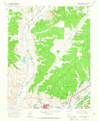
1963 · Farmington North
USGS Topo · 1:24,000
1963 · La Plata
USGS Topo · 1:24,000