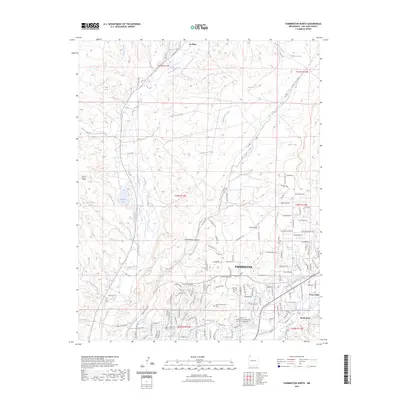
2023 Map of Farmington North
USGS Topo · Published 2023About this map
Farmington and its northern outskirts serve as the focal point of this San Juan County survey, where the convergence of the Animas River and various irrigation works defines the modern high-desert landscape. The territory transitions from the urbanized areas around San Juan College and New Mexico Highlands University Farmington into a network of mesas and canyons. A complex water management system is visible through features like Halford Independent Ditch, Jackson Ditch, and the City Reservoir, reflecting the historical and ongoing importance of water rights in this arid region. To the north and west, the terrain rises toward Pinon Mesa and Hood Mesa, cut by drainage systems such as Chokecherry Canyon and North Twin Wash. Rural settlements including La Plata and Flora Vista anchor the river valleys, while the presence of a local Cem near the Top of Sullivan Hill provides a point of interest for those researching local family history.
Find a feature on this map
149 named features on this map. Tap any name to fly to it.
Don’t see what you’re looking for? This feature index may not catch every label — zoom into the map to look around manually.
Map Details
Editions of this 2023 Farmington North Map
This is the sole edition of this map. No revisions or reprints were ever made.
Other maps of this area

1889 · Chaco
USGS Topo · 1:250,000

1892 · Chaco
USGS Topo · 1:250,000

1927 · Sulphur Spring
USGS Topo · 1:96,000

1928 · Kirtland
USGS Topo · 1:125,000

1932 · Kirtland
USGS Topo · 1:125,000

1954 · Shiprock
USGS Topo · 1:250,000

1958 · Shiprock
USGS Topo · 1:250,000

1959 · Shiprock
USGS Topo · 1:250,000
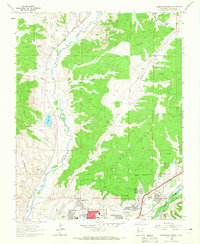
1963 · Farmington North
USGS Topo · 1:24,000
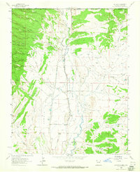
1963 · La Plata
USGS Topo · 1:24,000