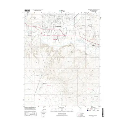
2017 Map of Farmington South
USGS Topo · Published 2017About this map
The San Juan River and Animas River converge at Farmington, forming a centerpiece for this high-desert landscape in the late 2010s. The map illustrates a complex network of agricultural infrastructure, with the Independent Ditch, N Farmington Ditch, and Willett Ditch channeling water across the terrain. To the south, the landscape transitions from the urban grid of the city into the stark topography of Shannon Bluffs and deep cuts like Gallegos Canyon and Stewart Canyon.
Find a feature on this map
146 named features on this map. Tap any name to fly to it.
Don’t see what you’re looking for? This feature index may not catch every label — zoom into the map to look around manually.
Map Details
Editions of this 2017 Farmington South Map
This is the sole edition of this map. No revisions or reprints were ever made.
Other maps of this area

1889 · Chaco
USGS Topo · 1:250,000

1892 · Chaco
USGS Topo · 1:250,000

1927 · Sulphur Spring
USGS Topo · 1:96,000

1928 · Kirtland
USGS Topo · 1:125,000

1932 · Kirtland
USGS Topo · 1:125,000

1954 · Shiprock
USGS Topo · 1:250,000

1958 · Shiprock
USGS Topo · 1:250,000

1959 · Shiprock
USGS Topo · 1:250,000
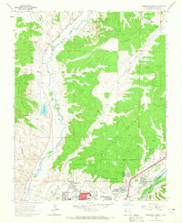
1963 · Farmington North
USGS Topo · 1:24,000
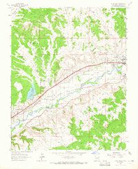
1963 · Flora Vista
USGS Topo · 1:24,000
Featured Places
- Farmington, NM
- Eastern Navajo Agency, NM
- Napi Headquarters, Eastern Navajo Agency
- San Juan County, NM
- United States