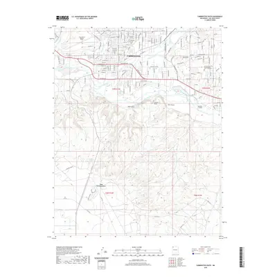
2020 Map of Farmington South
USGS Topo · Published 2020About this map
The Farmington river valley serves as the focal point of this 2020 map, where the Animas River meets the San Juan River amidst a complex network of historic irrigation and modern infrastructure. The city's northern residential and civic core is anchored by landmarks like the Greenlawn Cem, Dustin Masonic Memorial Park, and the Four Corners Regional Airport. To the south, the landscape shifts dramatically as the terrain rises into the Shannon Bluffs, carved by several deep drainage systems including Head Canyon and Mine Canyon. This transition highlights the city's unique placement between the fertile river bottom and the high desert plateaus. Agricultural heritage is visible through features like the Willett Ditch and Independent Ditch, while contemporary land use is represented by the Napi Headquarters and the expansion of suburban streets like Wildflower Pkwy.
Find a feature on this map
77 named features on this map. Tap any name to fly to it.
Don’t see what you’re looking for? This feature index may not catch every label — zoom into the map to look around manually.
Map Details
Editions of this 2020 Farmington South Map
This is the sole edition of this map. No revisions or reprints were ever made.
Other maps of this area

1889 · Chaco
USGS Topo · 1:250,000

1892 · Chaco
USGS Topo · 1:250,000

1927 · Sulphur Spring
USGS Topo · 1:96,000

1928 · Kirtland
USGS Topo · 1:125,000

1932 · Kirtland
USGS Topo · 1:125,000

1954 · Shiprock
USGS Topo · 1:250,000

1958 · Shiprock
USGS Topo · 1:250,000

1959 · Shiprock
USGS Topo · 1:250,000
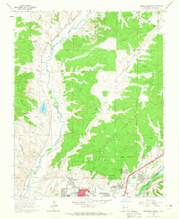
1963 · Farmington North
USGS Topo · 1:24,000
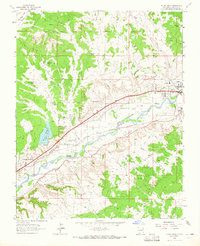
1963 · Flora Vista
USGS Topo · 1:24,000
Featured Places
- Farmington, NM
- Eastern Navajo Agency, NM
- Napi Headquarters, Eastern Navajo Agency
- San Juan County, NM
- United States