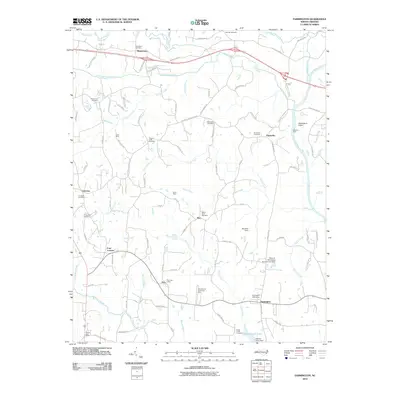
2010 Map of Farmington
USGS Topo · Published 2010About this map
Farmington and Huntsville anchor this 2010 topographic record of the Yadkin River valley, where the landscape is defined by its numerous small creeks and longstanding rural communities. The Yadkin River flows along the eastern border, passing through the alluvial Dinkins Bottoms and the site of the historic Shallow Ford. Local industry and commerce are marked by the Gross Mine and Dixon Mine, while the Pino Post Office and Nestor Post Office signify the persistence of small-town infrastructure.
Find a feature on this map
95 named features on this map. Tap any name to fly to it.
Don’t see what you’re looking for? This feature index may not catch every label — zoom into the map to look around manually.
Map Details
Editions of this 2010 Farmington Map
This is the sole edition of this map. No revisions or reprints were ever made.
Other maps of this area

1891 · Yadkinville
USGS Topo · 1:125,000

1893 · Statesville
USGS Topo · 1:125,000

1893 · Yadkinville
USGS Topo · 1:125,000

1953 · Charlotte
USGS Topo · 1:250,000

1953 · Winston-Salem
USGS Topo · 1:250,000

1954 · Charlotte
USGS Topo · 1:250,000

1955 · Winston-Salem
USGS Topo · 1:250,000

1960 · Charlotte
USGS Topo · 1:250,000

1962 · Winston-Salem
USGS Topo · 1:250,000

1962 · Charlotte
USGS Topo · 1:250,000