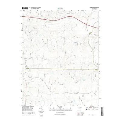
2016 Map of Farmington
USGS Topo · Published 2016About this map
Huntsville and Farmington anchor this survey of the Piedmont landscape where the Yadkin River defines the natural border between Yadkin and Forsyth counties. The map documents a deeply established rural network of family and community landmarks, particularly evident in the concentration of burial grounds such as Shacktown Cem and Turners Creek Cem. The terrain of the Yadkin Valley is dissected by numerous watercourses including Dutchman Creek and South Deep Creek, which historically dictated the placement of early settlements and roads like Shacktown Rd and Old US Hwy 421. Small water bodies like Marshall Lake and Cedar Cr Lake dot the countryside, reflecting the area's agricultural character and the transition toward residential development in the early twenty-first century.
Find a feature on this map
134 named features on this map. Tap any name to fly to it.
Don’t see what you’re looking for? This feature index may not catch every label — zoom into the map to look around manually.
Map Details
Editions of this 2016 Farmington Map
This is the sole edition of this map. No revisions or reprints were ever made.
Other maps of this area

1891 · Yadkinville
USGS Topo · 1:125,000

1893 · Statesville
USGS Topo · 1:125,000

1893 · Yadkinville
USGS Topo · 1:125,000

1953 · Charlotte
USGS Topo · 1:250,000

1953 · Winston-Salem
USGS Topo · 1:250,000

1954 · Charlotte
USGS Topo · 1:250,000

1955 · Winston-Salem
USGS Topo · 1:250,000

1960 · Charlotte
USGS Topo · 1:250,000

1962 · Winston-Salem
USGS Topo · 1:250,000

1962 · Charlotte
USGS Topo · 1:250,000