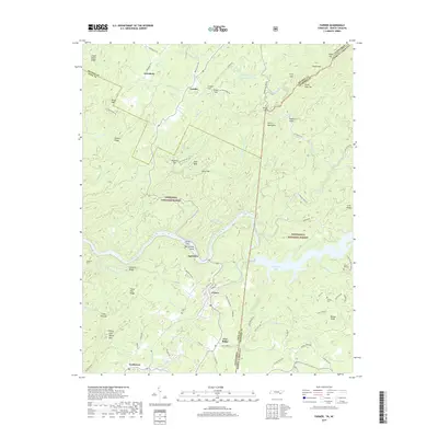
2019 Map of Farner
USGS Topo · Published 2019About this map
The Hiwassee River and its accompanying engineering feats dominate this borderland landscape where Tennessee meets North Carolina. The Apalachia Tunnel and nearby Apalachia Lake highlight the mid-century hydroelectric and industrial development that altered the flow of these mountain waters. Settlement patterns are concentrated in valleys and gaps, with Farner, Ironsburg, and Turtletown serving as local hubs for the surrounding timber and agricultural lands. The map reveals a high density of family-named landmarks and cemeteries, such as Brock Cem and River Hill Cem, which provide essential touchstones for genealogical research in this part of the Cherokee National Forest. The complex terrain of the Unicoi Mountains is woven with a network of forest roads and historic routes like the Joe Brown Hwy, reflecting the era's reliance on these passes for connectivity between the high ridges of the Nantahala National Forest and the lower river settlements.
Find a feature on this map
95 named features on this map. Tap any name to fly to it.
Don’t see what you’re looking for? This feature index may not catch every label — zoom into the map to look around manually.
Map Details
Editions of this 2019 Farner Map
This is the sole edition of this map. No revisions or reprints were ever made.
Other maps of this area

1893 · Murphy
USGS Topo · 1:125,000

1914 · Murphy
USGS Topo · 1:125,000

1933 · Haw Knob
USGS Topo · 1:48,000

1933 · Bald River Falls
USGS Topo · 1:24,000

1934 · Mecca
USGS Topo · 1:24,000

1934 · Persimmon Creek
USGS Topo · 1:24,000

1934 · Unaka
USGS Topo · 1:24,000

1934 · Murphy
USGS Topo · 1:48,000

1934 · Tellico Plains
USGS Topo · 1:24,000

1935 · Tellico
USGS Topo · 1:48,000