
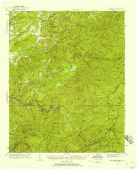
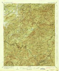
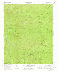
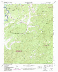
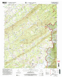
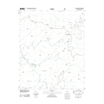
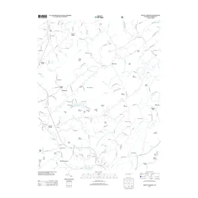
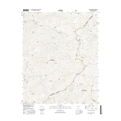
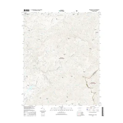
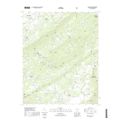
1934 Map of Mecca
USGS Topo · Published 1934About this map
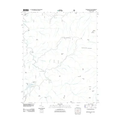
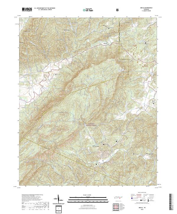
Starr Mountain dominates this mid-1930s landscape, forming a massive central ridge that divides the settlements of Mecca and Tellico Plains within the Cherokee National Forest. The map captures a transition period for rural Tennessee, where the Tennessee Valley Authority and USGS collaborated on high-detail aerial photography to document the complex terrain of the Unaka Range. On the eastern slopes, White Cliff Springs stands as a focal point, while numerous small churches and schools serve isolated mountain communities. The local economy is grounded in the water power of the many branches and creeks, evidenced by structures such as Oldman Mill on Shoal Creek and Harns Mill along the Conasauga Creek. This survey provides a distinct record of the road network before modern highway development, highlighting routes like the Springtown Road and Hatter Road that connected family farms to local centers like Wesley Chapel.
Find a feature on this map
63 named features on this map. Tap any name to fly to it.
Don’t see what you’re looking for? This feature index may not catch every label — zoom into the map to look around manually.
Map Details
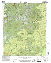
Editions of this 1934 Mecca Map
This is the sole edition of this map. No revisions or reprints were ever made.
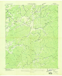
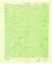
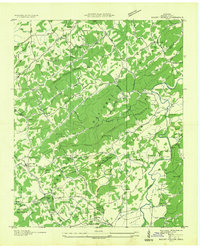
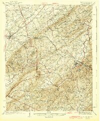
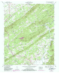
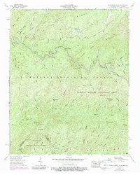
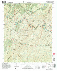
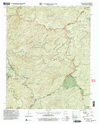
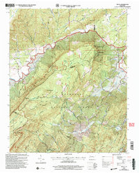
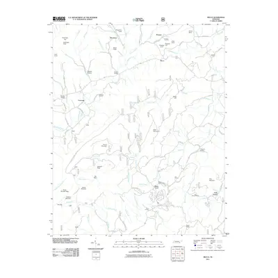
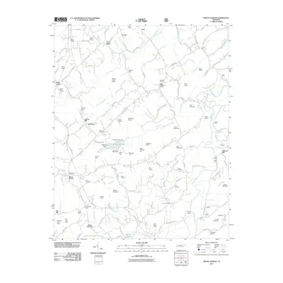
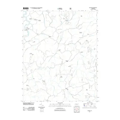
Historical Maps of Conasauga Through Time
53 maps found

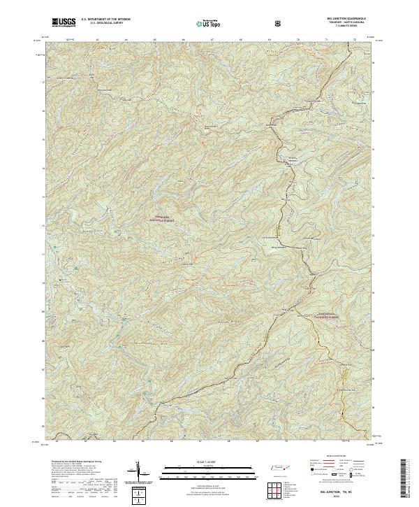
1927 Big Junction
Monroe County, TN

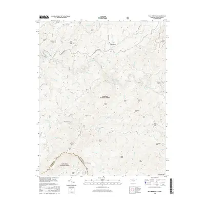
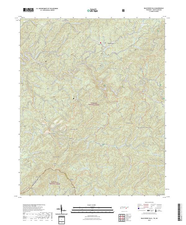
1933 Bald River Falls
Monroe County, TN
1933 Haw Knob
Monroe County, TN
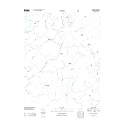
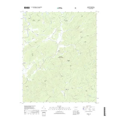
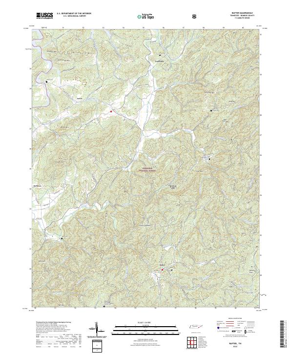
1933 Rafter
Monroe County, TN
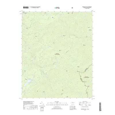
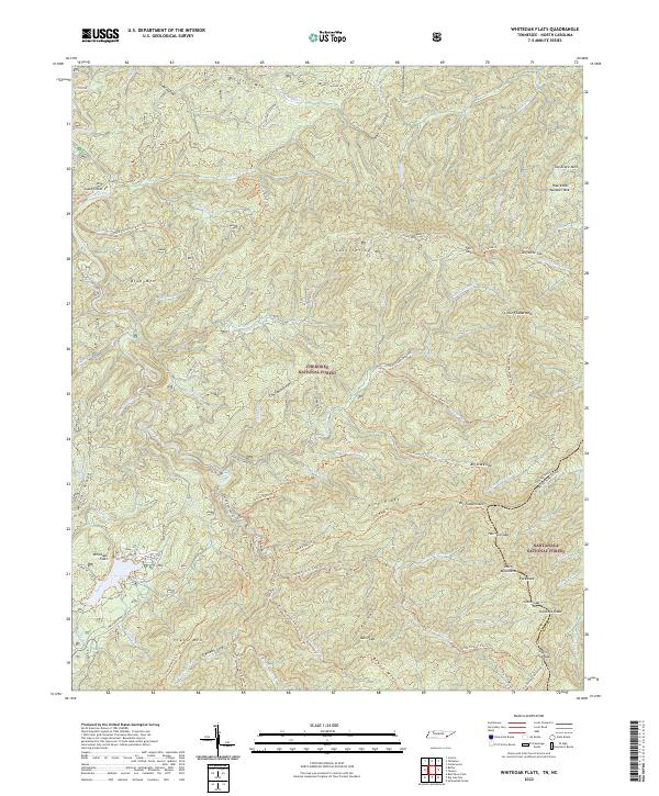
1933 Whiteoak Flats
Monroe County, TN
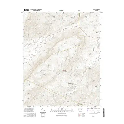
1934 Mecca
Monroe County, TN
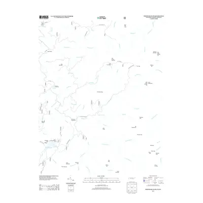
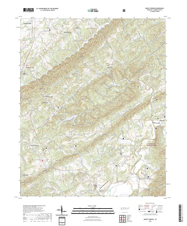
1934 Mount Vernon
Monroe County, TN

1935 Tellico
Monroe County, TN
1937 Haw Knob
Monroe County, TN
1943 Tellico
Monroe County, TN
1946 Mount Vernon
Monroe County, TN
1957 Bald River Falls
Monroe County, TN
1957 Big Junction
Monroe County, TN
1957 Mecca
Monroe County, TN
1957 Rafter
Monroe County, TN
1957 Whiteoak Flats
Monroe County, TN
1984 Rafter
Monroe County, TN
2003 Bald River Falls
Monroe County, TN
2003 Big Junction
Monroe County, TN
2003 Mecca
Monroe County, TN
2003 Mount Vernon
Monroe County, TN
2003 Rafter
Monroe County, TN
2003 Whiteoak Flats
Monroe County, TN
2011 Bald River Falls
Monroe County, TN
2011 Big Junction
Monroe County, TN
2011 Mecca
Monroe County, TN
2011 Mount Vernon
Monroe County, TN
2011 Rafter
Monroe County, TN
2011 Whiteoak Flats
Monroe County, TN
2013 Bald River Falls
Monroe County, TN
2013 Big Junction
Monroe County, TN
2013 Mecca
Monroe County, TN
2013 Mount Vernon
Monroe County, TN
2013 Rafter
Monroe County, TN
2013 Whiteoak Flats
Monroe County, TN
2016 Bald River Falls
Monroe County, TN
2016 Big Junction
Monroe County, TN
2016 Mecca
Monroe County, TN
2016 Mount Vernon
Monroe County, TN
2016 Rafter
Monroe County, TN
2016 Whiteoak Flats
Monroe County, TN
2019 Bald River Falls
Monroe County, TN
2019 Big Junction
Monroe County, TN
2019 Mecca
Monroe County, TN
2019 Mount Vernon
Monroe County, TN
2019 Rafter
Monroe County, TN
2019 Whiteoak Flats
Monroe County, TN
2022 Bald River Falls
Monroe County, TN
2022 Big Junction
Monroe County, TN
2022 Mecca
Monroe County, TN
2022 Mount Vernon
Monroe County, TN
2022 Rafter
Monroe County, TN
2022 Whiteoak Flats
Monroe County, TN