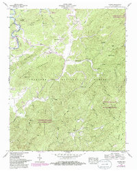
1957 Map of Rafter
USGS Topo · Published 1986About this map
The Tellico River corridor winds through a landscape defined by deep valleys and high ridges in the mid-1950s, with updates reflecting the terrain as it appeared in the early 1980s. Small rural communities like Tariffville, Acorn, and Rafter are dispersed among the creek systems of Ballplay Creek and the East Fork Hicks Creek. This area of Monroe County reveals a tight-knit network of spiritual and educational life, evidenced by numerous congregations such as Oak Grove Ch, Williamsburg Ch, and Antioch Ch.
Find a feature on this map
54 named features on this map. Tap any name to fly to it.
Don’t see what you’re looking for? This feature index may not catch every label — zoom into the map to look around manually.
Map Details
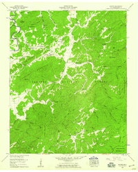
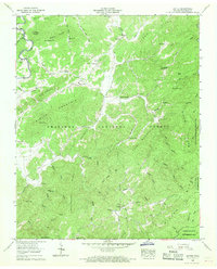
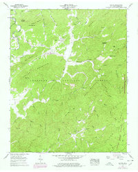
Editions of this 1957 Rafter Map
4 editions found
Other maps of this area

1893 · Murphy
USGS Topo · 1:125,000

1895 · Loudon
USGS Topo · 1:125,000

1914 · Murphy
USGS Topo · 1:125,000

1927 · Big Junction
USGS Topo · 1:24,000

1933 · Haw Knob
USGS Topo · 1:48,000

1933 · Whiteoak Flats
USGS Topo · 1:24,000

1933 · Bald River Falls
USGS Topo · 1:24,000

1933 · Rafter
USGS Topo · 1:24,000

1934 · Mount Vernon
USGS Topo · 1:24,000

1934 · Tellico Plains
USGS Topo · 1:24,000