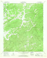
1957 Map of Rafter
USGS Topo · Published 1968About this map
The Cherokee National Forest dominates this mid-century landscape in Monroe County, where narrow valleys and steep ridges dictate the pattern of human settlement. The Tellico River flows through the western edge of the quadrangle, crossed by the Sloan Bridge and marked by river miles. Small communities like Tariffville, Acorn, and Ballplay are established along the creeks, many centered around local congregations such as Ebenezer Ballplay Ch and Oak Grove Ch.
Find a feature on this map
65 named features on this map. Tap any name to fly to it.
Don’t see what you’re looking for? This feature index may not catch every label — zoom into the map to look around manually.
Map Details
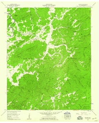
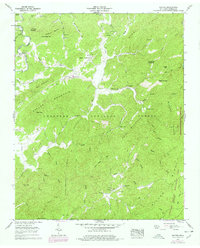
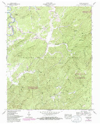
Editions of this 1957 Rafter Map
4 editions found
Other maps of this area

1893 · Murphy
USGS Topo · 1:125,000

1895 · Loudon
USGS Topo · 1:125,000

1914 · Murphy
USGS Topo · 1:125,000

1927 · Big Junction
USGS Topo · 1:24,000

1933 · Haw Knob
USGS Topo · 1:48,000

1933 · Whiteoak Flats
USGS Topo · 1:24,000

1933 · Bald River Falls
USGS Topo · 1:24,000

1933 · Rafter
USGS Topo · 1:24,000

1934 · Mount Vernon
USGS Topo · 1:24,000

1934 · Tellico Plains
USGS Topo · 1:24,000