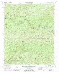
1957 Map of Bald River Falls
USGS Topo · Published 1988About this map
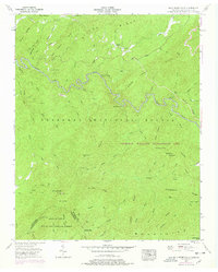
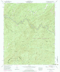
The Tellico River winds through a landscape defined by the Unicoi Mountains and the dense timber of the Cherokee National Forest. This 1950s era survey, later updated in the 1970s, captures the high-elevation terrain where the Tennessee and North Carolina state line follows the crests of peaks like Beaverdam Bald. Notable landmarks include the Bald River Falls and the Waucheesi Lookout Tower, which stands atop Waucheesi Mtn.
Find a feature on this map
79 named features on this map. Tap any name to fly to it.
Don’t see what you’re looking for? This feature index may not catch every label — zoom into the map to look around manually.
Map Details
Editions of this 1957 Bald River Falls Map
6 editions found
Other maps of this area

1893 · Murphy
USGS Topo · 1:125,000

1914 · Murphy
USGS Topo · 1:125,000

1927 · Big Junction
USGS Topo · 1:24,000

1933 · Haw Knob
USGS Topo · 1:48,000

1933 · Whiteoak Flats
USGS Topo · 1:24,000

1933 · Bald River Falls
USGS Topo · 1:24,000

1933 · Rafter
USGS Topo · 1:24,000

1934 · Mount Vernon
USGS Topo · 1:24,000

1934 · McDaniel Bald
USGS Topo · 1:24,000

1934 · Unaka
USGS Topo · 1:24,000