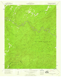
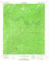
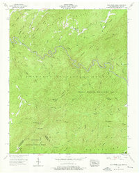
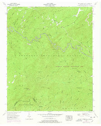
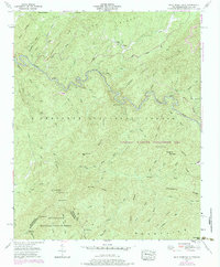
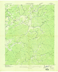
1957 Map of Bald River Falls
USGS Topo · Published 1959About this map
Tellico River winds through the heart of the Cherokee National Forest in this late-1950s survey of the Unicoi Mountains. The landscape is a network of named heights and gaps, where the Tellico Ranger Station serves as a central hub for the Tellico Wildlife Management Area. Local life is recorded at isolated institutions such as Miller Chapel and Mt Isabel Ch, alongside the Waucheesi Sch.
Find a feature on this map
79 named features on this map. Tap any name to fly to it.
Don’t see what you’re looking for? This feature index may not catch every label — zoom into the map to look around manually.
Map Details
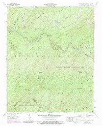
Editions of this 1957 Bald River Falls Map
6 editions found
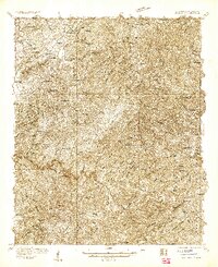
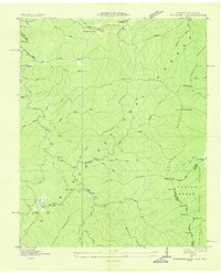
Other maps of this area

1893 · Murphy
USGS Topo · 1:125,000

1914 · Murphy
USGS Topo · 1:125,000

1927 · Big Junction
USGS Topo · 1:24,000
1933 · Haw Knob
USGS Topo · 1:48,000
1933 · Whiteoak Flats
USGS Topo · 1:24,000

1933 · Bald River Falls
USGS Topo · 1:24,000
1933 · Rafter
USGS Topo · 1:24,000
1934 · Mount Vernon
USGS Topo · 1:24,000

1934 · McDaniel Bald
USGS Topo · 1:24,000

1934 · Unaka
USGS Topo · 1:24,000