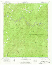
1957 Map of Bald River Falls
USGS Topo · Published 1976About this map
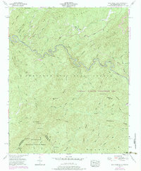
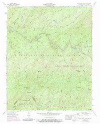
The Tellico River winds through the heart of the Cherokee National Forest in this 1957 survey of the borderlands between Tennessee and North Carolina. The landscape is defined by the sharp elevations of the Unicoi Mountains, where the Tellico Wildlife Management Area covers much of the high ground including Henderson Top and Gravelstand Top. Human presence is concentrated near the river and along Furnace Road, with the Tellico Ranger Station serving as a key outpost. Local history is preserved in landmarks such as the Miller Mine and the Waucheesi Sch, while spiritual and communal centers like Mt Isabel Ch and Miller Chapel dot the ridges. The dramatic descent of the Bald River Falls marks the junction where the Bald River meets the Tellico, a significant landmark in this heavily forested terrain.
Find a feature on this map
72 named features on this map. Tap any name to fly to it.
Don’t see what you’re looking for? This feature index may not catch every label — zoom into the map to look around manually.
Map Details
Editions of this 1957 Bald River Falls Map
6 editions found
Other maps of this area

1893 · Murphy
USGS Topo · 1:125,000

1914 · Murphy
USGS Topo · 1:125,000

1927 · Big Junction
USGS Topo · 1:24,000

1933 · Haw Knob
USGS Topo · 1:48,000

1933 · Whiteoak Flats
USGS Topo · 1:24,000

1933 · Bald River Falls
USGS Topo · 1:24,000

1933 · Rafter
USGS Topo · 1:24,000

1934 · Mount Vernon
USGS Topo · 1:24,000

1934 · McDaniel Bald
USGS Topo · 1:24,000

1934 · Unaka
USGS Topo · 1:24,000