
1957 Map of Big Junction
USGS Topo · Published 1978About this map
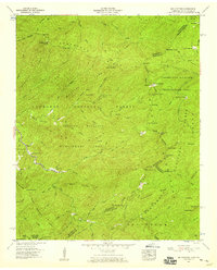
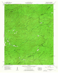
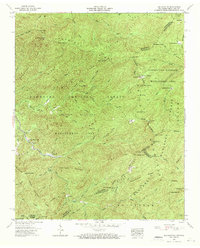
Hemlock Knob Lookout Tower stands as a sentinel over this high-elevation boundary between Tennessee and North Carolina, where the Cherokee National Forest and Nantahala National Forest meet. The terrain is defined by a dense network of high ridges, including Sassafras Ridge and the prominent Big Junction summit, which marks the convergence of Monroe, Graham, and Cherokee counties. Down in the valley of the Tellico River, the Pheasant Field Rearing Pools indicate a focus on wildlife management and conservation within the Cherokee Wildlife Management Area.
Find a feature on this map
67 named features on this map. Tap any name to fly to it.
Don’t see what you’re looking for? This feature index may not catch every label — zoom into the map to look around manually.
Map Details
Editions of this 1957 Big Junction Map
4 editions found
Other maps of this area

1893 · Murphy
USGS Topo · 1:125,000

1914 · Murphy
USGS Topo · 1:125,000

1927 · Big Junction
USGS Topo · 1:24,000

1933 · Haw Knob
USGS Topo · 1:48,000

1933 · Whiteoak Flats
USGS Topo · 1:24,000

1933 · Bald River Falls
USGS Topo · 1:24,000

1933 · Rafter
USGS Topo · 1:24,000

1934 · McDaniel Bald
USGS Topo · 1:24,000

1934 · Unaka
USGS Topo · 1:24,000

1934 · Murphy
USGS Topo · 1:48,000