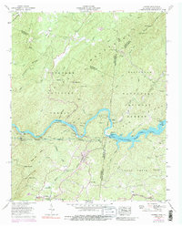
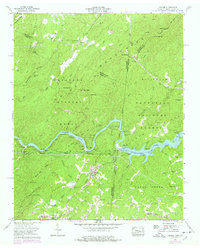
1957 Map of Farner
USGS Topo · Published 1988About this map
Apalachia Lake and the Hiwassee River anchor this mountainous boundary land where the Cherokee National Forest and Nantahala National Forest meet. This mid-century landscape is defined by the heavy infrastructure of the Apalachia Dam and the industrial backbone of the Louisville and Nashville railroad, which snakes through the river valley and the community of Farner. Settlement patterns follow the hollows and gaps of the Unicoi Mountains, with small clusters at Turtletown, Ironsburg, and Cataska. Local history is preserved in family-named sites like Brock Cem and Hamby Cem, while the Unicoi Highway and trails near Buck Bald trace the traditional routes across the Tennessee and North Carolina state line. The map captures the region's character as a managed wilderness, balancing hydroelectric power generation with isolated mountain homesteads.
Find a feature on this map
65 named features on this map. Tap any name to fly to it.
Don’t see what you’re looking for? This feature index may not catch every label — zoom into the map to look around manually.
Map Details
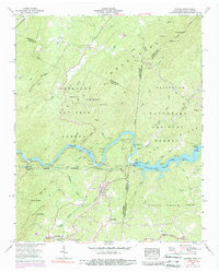
Editions of this 1957 Farner Map
6 editions found
Other maps of this area

1893 · Murphy
USGS Topo · 1:125,000

1914 · Murphy
USGS Topo · 1:125,000

1933 · Haw Knob
USGS Topo · 1:48,000

1933 · Bald River Falls
USGS Topo · 1:24,000

1934 · Mecca
USGS Topo · 1:24,000

1934 · Persimmon Creek
USGS Topo · 1:24,000

1934 · Unaka
USGS Topo · 1:24,000

1934 · Murphy
USGS Topo · 1:48,000

1934 · Tellico Plains
USGS Topo · 1:24,000

1935 · Tellico
USGS Topo · 1:48,000