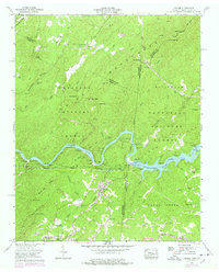
1957 Map of Farner
USGS Topo · Published 1978About this map
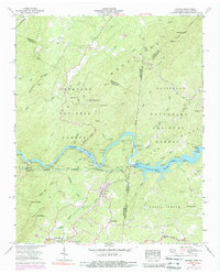
The Hiwassee River winds through the heart of this borderland landscape, where the Cherokee National Forest and Nantahala National Forest meet at the Tennessee and North Carolina state line. The Louisville and Nashville railroad tracks follow the river's northern bank, passing through the remote settlement of Cataska and the Apalachia Dam, which contains the waters of Apalachia Lake. This mid-century survey reveals a network of high-elevation gaps and family-named landmarks that speak to the region's isolated rural history.
Find a feature on this map
71 named features on this map. Tap any name to fly to it.
Don’t see what you’re looking for? This feature index may not catch every label — zoom into the map to look around manually.
Map Details
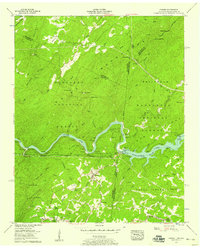
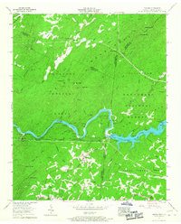
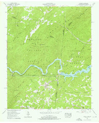
Editions of this 1957 Farner Map
6 editions found
Other maps of this area

1893 · Murphy
USGS Topo · 1:125,000

1914 · Murphy
USGS Topo · 1:125,000

1933 · Haw Knob
USGS Topo · 1:48,000

1933 · Bald River Falls
USGS Topo · 1:24,000

1934 · Mecca
USGS Topo · 1:24,000

1934 · Persimmon Creek
USGS Topo · 1:24,000

1934 · Unaka
USGS Topo · 1:24,000

1934 · Murphy
USGS Topo · 1:48,000

1934 · Tellico Plains
USGS Topo · 1:24,000

1935 · Tellico
USGS Topo · 1:48,000