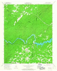
1957 Map of Farner
USGS Topo · Published 1967About this map
The Hiwassee River cuts a deep path through the southern Appalachian landscape, dividing the Cherokee National Forest and Nantahala National Forest. By the late 1950s, the river's flow was harnessed by the Apalachia Dam, creating Apalachia Lake which spans the border between Polk County, Tennessee, and Cherokee County, North Carolina. This map reveals a community structured by both the water and the Louisville and Nashville Railroad, which follows the river's winding northern bank through the Shinbone Ridge.
Find a feature on this map
54 named features on this map. Tap any name to fly to it.
Don’t see what you’re looking for? This feature index may not catch every label — zoom into the map to look around manually.
Map Details
Editions of this 1957 Farner Map
6 editions found
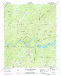
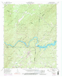
Other maps of this area

1893 · Murphy
USGS Topo · 1:125,000

1914 · Murphy
USGS Topo · 1:125,000

1933 · Haw Knob
USGS Topo · 1:48,000

1933 · Bald River Falls
USGS Topo · 1:24,000

1934 · Mecca
USGS Topo · 1:24,000

1934 · Persimmon Creek
USGS Topo · 1:24,000

1934 · Unaka
USGS Topo · 1:24,000

1934 · Murphy
USGS Topo · 1:48,000

1934 · Tellico Plains
USGS Topo · 1:24,000

1935 · Tellico
USGS Topo · 1:48,000