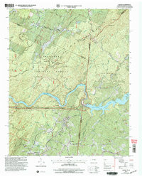
2003 Map of Farner
USGS Topo · Published 2004About this map
The Hiwassee River carves a deep path through this borderland, where the Cherokee National Forest and Nantahala National Forest meet at the Tennessee and North Carolina line. The landscape is defined by its water management and mountainous terrain, anchored by the Apalachia Dam and the resulting waters of Apalachia Lake. Small rural settlements like Farner, Ironsburg, and Turtletown are connected by a network of winding roads such as Massingale Road and Unicoi Road.
Find a feature on this map
67 named features on this map. Tap any name to fly to it.
Don’t see what you’re looking for? This feature index may not catch every label — zoom into the map to look around manually.
Map Details
Editions of this 2003 Farner Map
This is the sole edition of this map. No revisions or reprints were ever made.
Other maps of this area

1893 · Murphy
USGS Topo · 1:125,000

1914 · Murphy
USGS Topo · 1:125,000
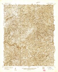
1933 · Haw Knob
USGS Topo · 1:48,000
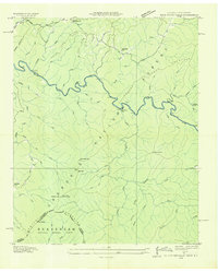
1933 · Bald River Falls
USGS Topo · 1:24,000
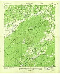
1934 · Mecca
USGS Topo · 1:24,000
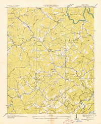
1934 · Persimmon Creek
USGS Topo · 1:24,000
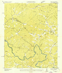
1934 · Unaka
USGS Topo · 1:24,000
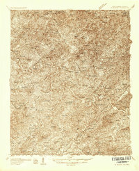
1934 · Murphy
USGS Topo · 1:48,000
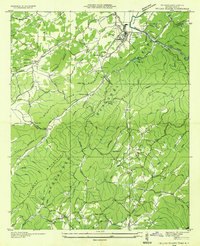
1934 · Tellico Plains
USGS Topo · 1:24,000
1935 · Tellico
USGS Topo · 1:48,000