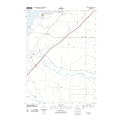
2010 Map of Farnham
USGS Topo · Published 2010About this map
Cattaraugus Creek winds through the southern reaches of this landscape, defining a complex riparian corridor as it approaches its mouth at Lake Erie. The settlement of Irving sits at a critical junction where several major thoroughfares, including the NYS Thruway and Buffalo Rd, converge near the creek. Along the shoreline, the residential patterns of Angola Lake Shore Addition and Lake Erie Beach contrast with the open areas of Camp Forty Acres at Farnham Point.
Find a feature on this map
59 named features on this map. Tap any name to fly to it.
Don’t see what you’re looking for? This feature index may not catch every label — zoom into the map to look around manually.
Map Details
Editions of this 2010 Farnham Map
This is the sole edition of this map. No revisions or reprints were ever made.
Other maps of this area

1899 · Silver Creek
USGS Topo · 1:62,500

1900 · Cherry Creek
USGS Topo · 1:62,500

1905 · Eden
USGS Topo · 1:62,500

1907 · Eden
USGS Topo · 1:62,500

1923 · Cattaraugus
USGS Topo · 1:62,500

1938 · Cattaraugus
USGS Topo · 1:62,500

1941 · Cattaraugus
USGS Topo · 1:62,500

1941 · Cherry Creek
USGS Topo · 1:62,500

1943 · Silver Creek
USGS Topo · 1:24,000

1944 · Eden
USGS Topo · 1:62,500