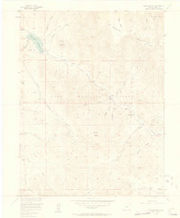
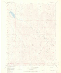
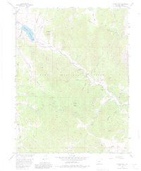
1956 Map of Farnum Peak
USGS Topo · Published 1957About this map
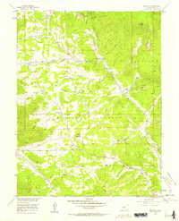
Farnum Peak stands as the central topographic anchor of this mid-century survey, surrounded by the high-elevation drainage basins of the Tarryall Mountains within the Pike National Forest. The landscape is defined by a dense network of gulches and creeks, including Potato Gulch, Gooseberry Creek, and the intricate Tarryall Creek system which feeds into the Tarryall Reservoir in the northwest. Human presence is concentrated around the Lazy River Ranch and the Tarryall Campground, with a notable Cemetery located east of Bridge Gulch. This map provides significant value for those tracing local landmarks or backcountry routes, as it captures specific place-names like Schoolmarm Draw and Rock Point before later developments may have altered the local vernacular. The winding McCurdy Trail and numerous named parks such as Webber Park and Burns Park illustrate the area's established role in mountain recreation and ranching during the 1950s.
Find a feature on this map
29 named features on this map. Tap any name to fly to it.
Don’t see what you’re looking for? This feature index may not catch every label — zoom into the map to look around manually.
Map Details
Editions of this 1956 Farnum Peak Map
6 editions found
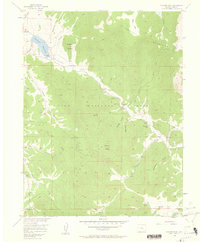
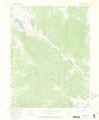
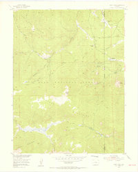
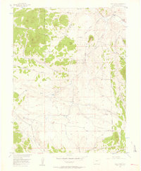
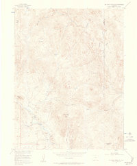
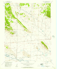
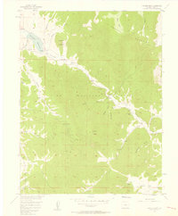
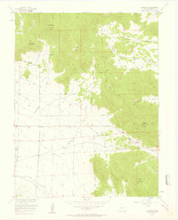
Other maps of this area

1893 · Platte Canyon
USGS Topo · 1:125,000

1953 · Denver
USGS Topo · 1:250,000
1954 · Windy Peak
USGS Topo · 1:24,000
1956 · Eagle Rock
USGS Topo · 1:24,000
1956 · Mc Curdy Mountain
USGS Topo · 1:24,000
1956 · Tarryall
USGS Topo · 1:24,000
1956 · Sulphur Mountain
USGS Topo · 1:24,000
1956 · Farnum Peak
USGS Topo · 1:24,000
1956 · Glentivar
USGS Topo · 1:24,000

1957 · Denver
USGS Topo · 1:250,000