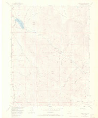
1956 Map of Farnum Peak
USGS Topo · Published 1970About this map
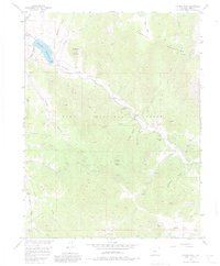
Tarryall Reservoir and the winding course of Tarryall Creek anchor this high-altitude landscape in the Pike National Forest. The 1950s terrain is defined by the elevation gains between the Puma Hills and the Tarryall Mountains, culminating at the prominent Farnum Peak. Human presence is sparse but specific, marked by the Lazy River Ranch and the small settlement at Rock Point near the reservoir's edge.
Find a feature on this map
29 named features on this map. Tap any name to fly to it.
Don’t see what you’re looking for? This feature index may not catch every label — zoom into the map to look around manually.
Map Details
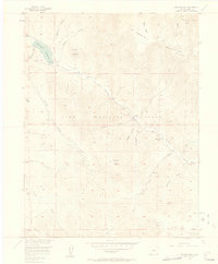
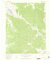
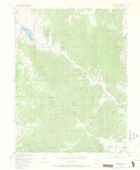
Editions of this 1956 Farnum Peak Map
6 editions found
Other maps of this area

1893 · Platte Canyon
USGS Topo · 1:125,000

1953 · Denver
USGS Topo · 1:250,000
1954 · Windy Peak
USGS Topo · 1:24,000

1956 · Eagle Rock
USGS Topo · 1:24,000

1956 · Mc Curdy Mountain
USGS Topo · 1:24,000

1956 · Tarryall
USGS Topo · 1:24,000

1956 · Sulphur Mountain
USGS Topo · 1:24,000

1956 · Farnum Peak
USGS Topo · 1:24,000

1956 · Glentivar
USGS Topo · 1:24,000

1957 · Denver
USGS Topo · 1:250,000