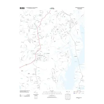
2013 Map of Farrington
USGS Topo · Published 2013About this map
Fearrington Village and the community of Fearrington serve as central points in this landscape where the Piedmont hills meet the sprawling waters of B Everett Jordan Lake. The terrain is defined by several prominent elevations, including Bennett Mountain, Edwards Mountain, and Lambeth Mountain, which overlook a network of small creeks and private water bodies like Cedar Village Lake and King Pond. This 2013 survey illustrates the modern residential development of the area south of Chapel Hill, where winding roads like Damascus Church Rd and Briar Chapel Pkwy thread through wooded ridges.
Find a feature on this map
253 named features on this map. Tap any name to fly to it.
Don’t see what you’re looking for? This feature index may not catch every label — zoom into the map to look around manually.
Map Details
Editions of this 2013 Farrington Map
This is the sole edition of this map. No revisions or reprints were ever made.
Other maps of this area

1943 · Durham South
USGS Topo · 1:62,500

1946 · Chapel Hill
USGS Topo · 1:24,000

1947 · Chapel Hill
USGS Topo · 1:31,680

1951 · Farrington
USGS Topo · 1:24,000

1951 · Durham South
USGS Topo · 1:62,500

1953 · Raleigh
USGS Topo · 1:250,000

1954 · Raleigh
USGS Topo · 1:250,000

1968 · White Cross
USGS Topo · 1:24,000

1968 · Bynum
USGS Topo · 1:24,000

1969 · New Hope Dam
USGS Topo · 1:24,000