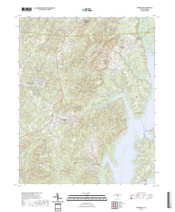
2022 Map of Farrington
USGS Topo · Published 2022About this map
B Everett Jordan Lake dominates the eastern landscape of this modern North Carolina survey, where the water meets the established settlements of Farrington and Bells. To the west, the terrain rises toward prominent elevations such as Edwards Mtn, Bennett Mtn, and Boothe Hill. The area is characterized by a mix of planned communities and older rural landmarks, reflecting the growth of the region south of Chapel Hill.
Find a feature on this map
88 named features on this map. Tap any name to fly to it.
Don’t see what you’re looking for? This feature index may not catch every label — zoom into the map to look around manually.
Map Details
Editions of this 2022 Farrington Map
This is the sole edition of this map. No revisions or reprints were ever made.
Other maps of this area

1943 · Durham South
USGS Topo · 1:62,500

1946 · Chapel Hill
USGS Topo · 1:24,000

1947 · Chapel Hill
USGS Topo · 1:31,680

1951 · Farrington
USGS Topo · 1:24,000

1951 · Durham South
USGS Topo · 1:62,500

1953 · Raleigh
USGS Topo · 1:250,000

1954 · Raleigh
USGS Topo · 1:250,000

1968 · White Cross
USGS Topo · 1:24,000

1968 · Bynum
USGS Topo · 1:24,000

1969 · New Hope Dam
USGS Topo · 1:24,000