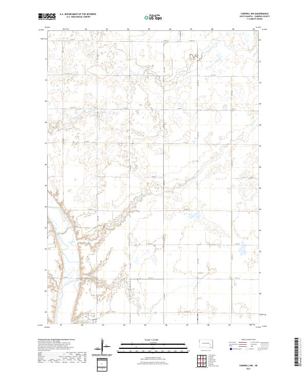
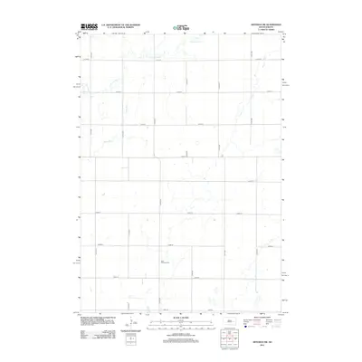
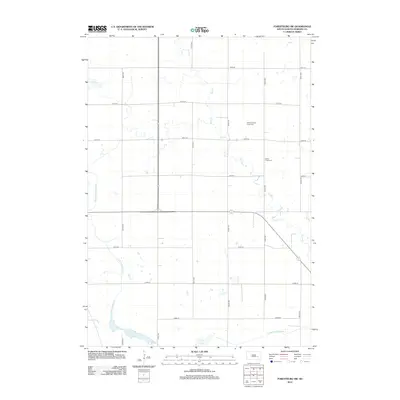
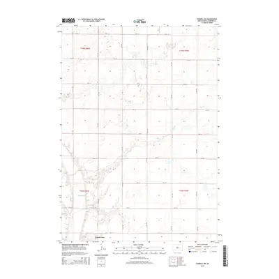
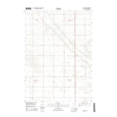
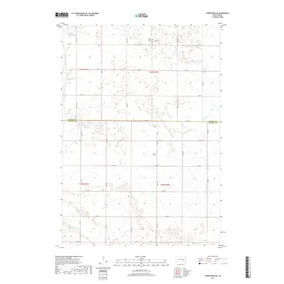
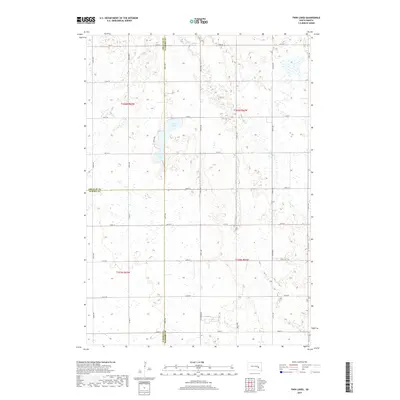
2021 Map of Farwell NW
USGS Topo · Published 2021About this map
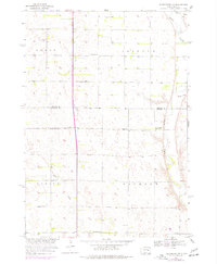
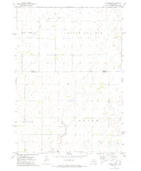
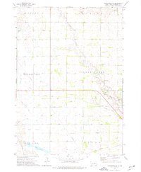
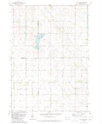
James River meanders through the southwestern corner of this Sanborn County landscape, where the prairie is defined by the gentle drainage patterns of Jim Cr and Dry Run. In 2021, the area remains a study in rural precision, governed by the section lines of the Public Land Survey System including t106n r60w and t105n r59w. The land is gridded by an extensive network of local thoroughfares such as 411th Ave and 234th St, revealing the enduring agricultural layout of eastern South Dakota. Notable local connectors like Ruml Rd and Co Hwy 29 provide access across the terrain, which is dotted with numerous small wetlands and basins characteristic of the region's glacial topography. This map documents the intersection of natural hydrology and the man-made grid that facilitates the life of the modern High Plains.
Find a feature on this map
28 named features on this map. Tap any name to fly to it.
Don’t see what you’re looking for? This feature index may not catch every label — zoom into the map to look around manually.
Map Details
Editions of this 2021 Farwell NW Map
This is the sole edition of this map. No revisions or reprints were ever made.
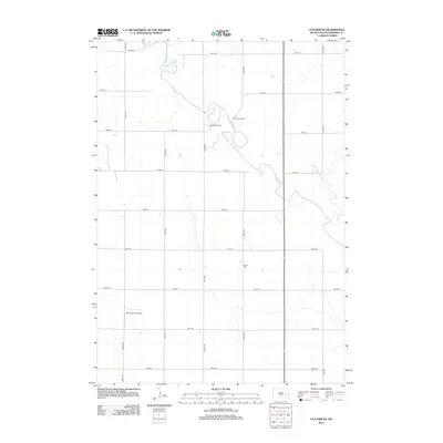
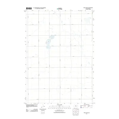
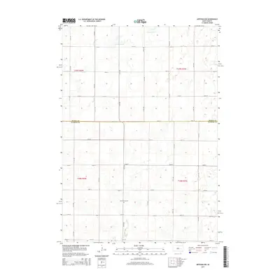
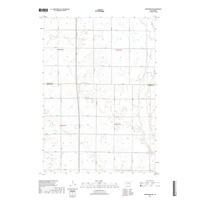
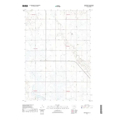
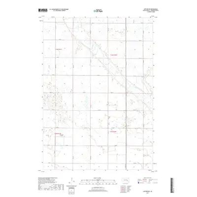
Historical Maps of Diana Township Through Time
35 maps found
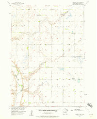
1957 Farwell NW
Sanborn County, SD
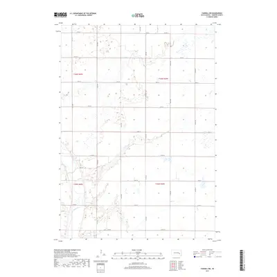
1957 Forestburg NE
Sanborn County, SD
1957 Letcher NE
Sanborn County, SD
1958 Forestburg NW
Sanborn County, SD
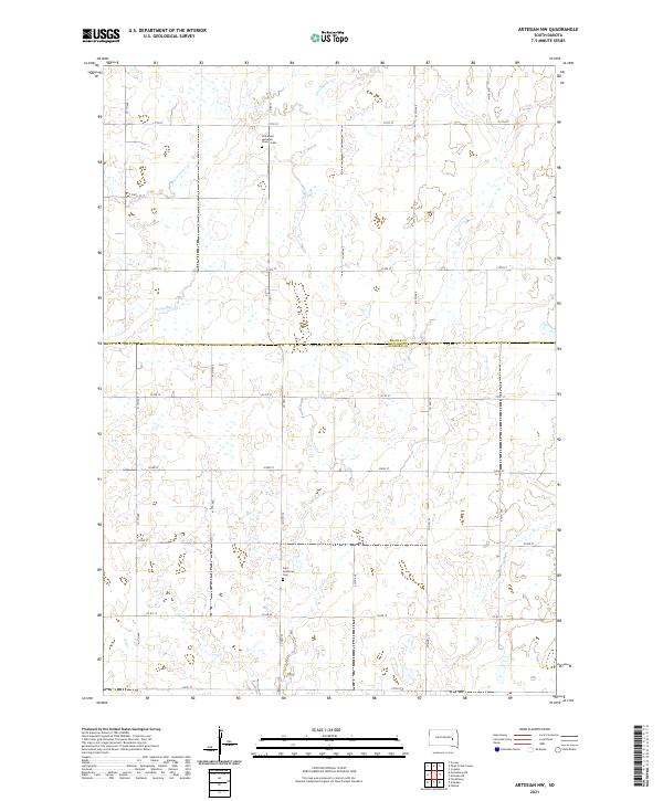
1971 Artesian NW
Sanborn County, SD
1973 Forestburg SW
Sanborn County, SD
1979 Twin Lakes
Sanborn County, SD
2012 Artesian NW
Sanborn County, SD
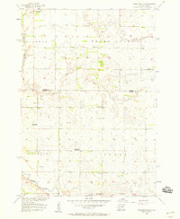
2012 Farwell NW
Sanborn County, SD
2012 Forestburg NE
Sanborn County, SD
2012 Forestburg NW
Sanborn County, SD
2012 Forestburg SW
Sanborn County, SD
2012 Letcher NE
Sanborn County, SD
2012 Twin Lakes
Sanborn County, SD
2015 Artesian NW
Sanborn County, SD
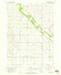
2015 Farwell NW
Sanborn County, SD
2015 Forestburg NE
Sanborn County, SD
2015 Forestburg NW
Sanborn County, SD
2015 Forestburg SW
Sanborn County, SD
2015 Letcher NE
Sanborn County, SD
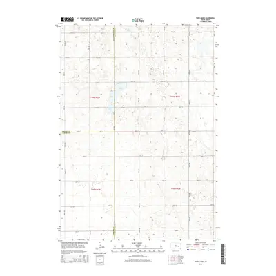
2015 Twin Lakes
Sanborn County, SD
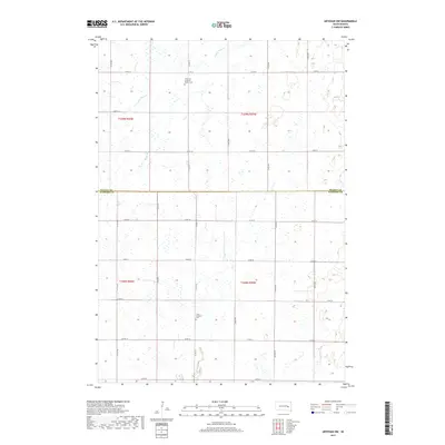
2017 Artesian NW
Sanborn County, SD
2017 Farwell NW
Sanborn County, SD
2017 Forestburg NE
Sanborn County, SD
2017 Forestburg NW
Sanborn County, SD
2017 Forestburg SW
Sanborn County, SD
2017 Letcher NE
Sanborn County, SD
2017 Twin Lakes
Sanborn County, SD
2021 Artesian NW
Sanborn County, SD
2021 Farwell NW
Sanborn County, SD
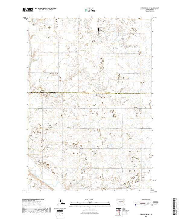
2021 Forestburg NE
Sanborn County, SD
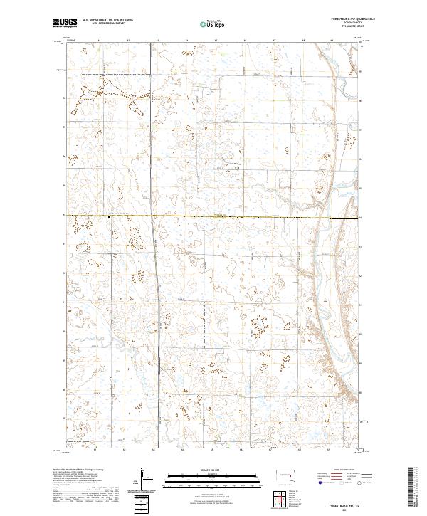
2021 Forestburg NW
Sanborn County, SD
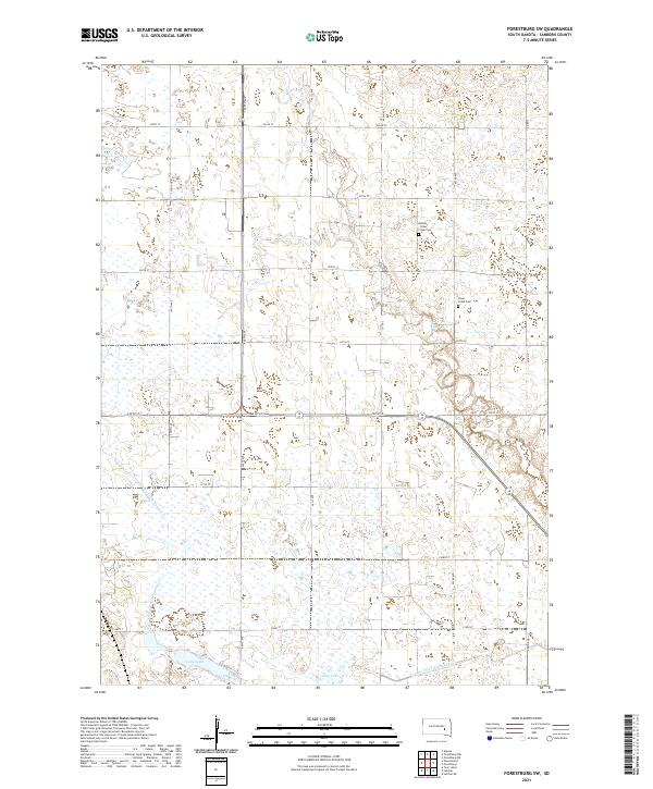
2021 Forestburg SW
Sanborn County, SD
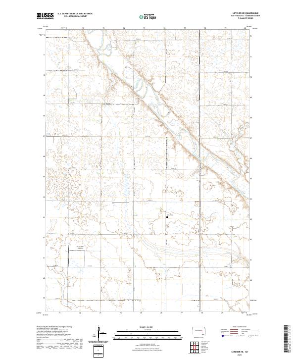
2021 Letcher NE
Sanborn County, SD
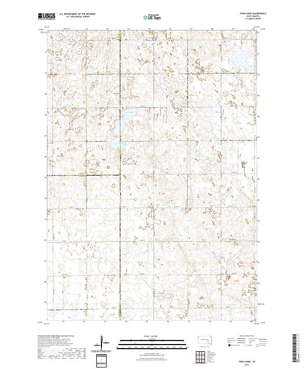
2021 Twin Lakes
Sanborn County, SD
Featured Locations
- Butler Township, SD
- Diana Township, SD
- Ravenna Township, SD
- Union Township, SD
- Upland Hutterite Colony, Butler Township