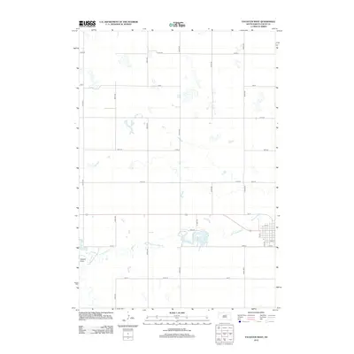
2012 Map of Faulkton West
USGS Topo · Published 2012About this map
Lake Faulkton serves as a central hydrological point in this portion of Faulk County, where the plains are defined by a rigorous section-line road grid and the meandering path of the S Fork Snake Cr. The landscape transitions from the systematic agriculture of the northern sections, divided by routes like 157th St and 350th Ave, to the more irregular terrain of Vogeler Draw in the southwest. Near the eastern edge of the survey, the outskirts of the local settlement begin to appear, marked by residential streets such as Elm St and Oak St, as well as the transition into the VFW Rd corridor. This 2012 snapshot documents the enduring rural structure of the region, showing how modern infrastructure follows the historical township and range system while accommodating the natural drainage patterns of the South Fork.
Find a feature on this map
27 named features on this map. Tap any name to fly to it.
Don’t see what you’re looking for? This feature index may not catch every label — zoom into the map to look around manually.
Map Details
Editions of this 2012 Faulkton West Map
This is the sole edition of this map. No revisions or reprints were ever made.
Other maps of this area

1950 · Rezac Lake NE
USGS Topo · 1:24,000

1951 · Rezac Lake NE
USGS Topo · 1:24,000

1951 · Orient
USGS Topo · 1:24,000

1951 · Clark Lake
USGS Topo · 1:24,000

1951 · Orient NW
USGS Topo · 1:24,000

1952 · Norbeck
USGS Topo · 1:24,000

1952 · Burkmere
USGS Topo · 1:24,000

1952 · Wecota
USGS Topo · 1:24,000

1952 · Faulkton West
USGS Topo · 1:24,000

1952 · Faulkton East
USGS Topo · 1:24,000