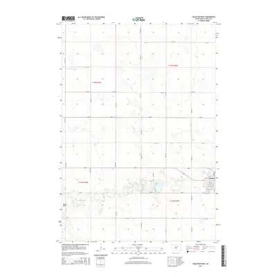
2015 Map of Faulkton West
USGS Topo · Published 2015About this map
Faulkton sits at the eastern edge of this landscape, where the prairie grid of Faulk County meets the winding path of the S Fork Snake Cr. The town's structured street plan, featuring locally significant thoroughfares like Court St and Park St, provides a clear view of the community's layout in the mid-2010s. To the west of the settlement, Lake Faulkton serves as a primary water feature, fed by the creek system that carves through the undulating terrain.
Find a feature on this map
35 named features on this map. Tap any name to fly to it.
Don’t see what you’re looking for? This feature index may not catch every label — zoom into the map to look around manually.
Map Details
Editions of this 2015 Faulkton West Map
This is the sole edition of this map. No revisions or reprints were ever made.
Other maps of this area

1950 · Rezac Lake NE
USGS Topo · 1:24,000

1951 · Rezac Lake NE
USGS Topo · 1:24,000

1951 · Orient
USGS Topo · 1:24,000

1951 · Clark Lake
USGS Topo · 1:24,000

1951 · Orient NW
USGS Topo · 1:24,000

1952 · Norbeck
USGS Topo · 1:24,000

1952 · Burkmere
USGS Topo · 1:24,000

1952 · Wecota
USGS Topo · 1:24,000

1952 · Faulkton West
USGS Topo · 1:24,000

1952 · Faulkton East
USGS Topo · 1:24,000