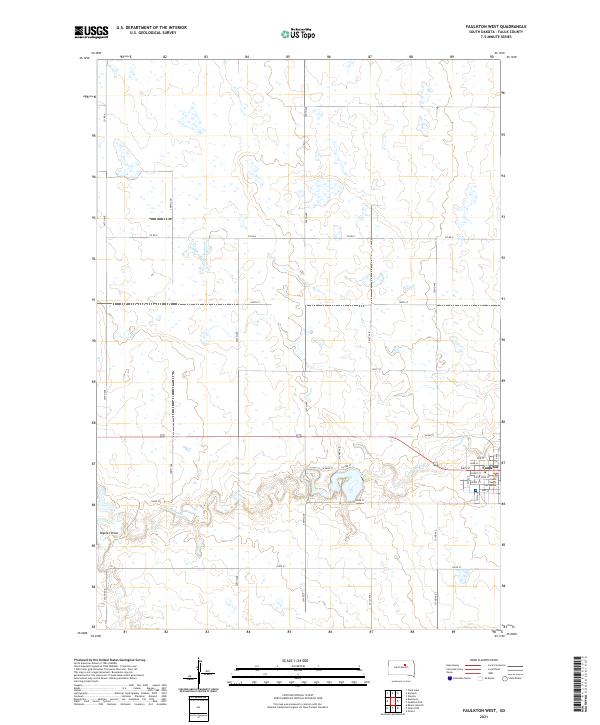
2021 Map of Faulkton West
USGS Topo · Published 2021About this map
Faulkton serves as the focal point of this South Dakota landscape, situated at the intersection of a rigid section-line road network and the meandering path of S Fork Snake Cr. The town's civic heart is anchored by the Faulk County Courthouse, surrounded by a traditional grid of named streets including Saint John St, Pearl St, and Court St. This 2021 study illustrates the contrast between the organized urban plat and the surrounding agricultural sections of Faulk County.
Find a feature on this map
37 named features on this map. Tap any name to fly to it.
Don’t see what you’re looking for? This feature index may not catch every label — zoom into the map to look around manually.
Map Details
Editions of this 2021 Faulkton West Map
This is the sole edition of this map. No revisions or reprints were ever made.
Other maps of this area

1950 · Rezac Lake NE
USGS Topo · 1:24,000

1951 · Rezac Lake NE
USGS Topo · 1:24,000

1951 · Orient
USGS Topo · 1:24,000

1951 · Clark Lake
USGS Topo · 1:24,000

1951 · Orient NW
USGS Topo · 1:24,000

1952 · Norbeck
USGS Topo · 1:24,000

1952 · Burkmere
USGS Topo · 1:24,000

1952 · Wecota
USGS Topo · 1:24,000

1952 · Faulkton West
USGS Topo · 1:24,000

1952 · Faulkton East
USGS Topo · 1:24,000