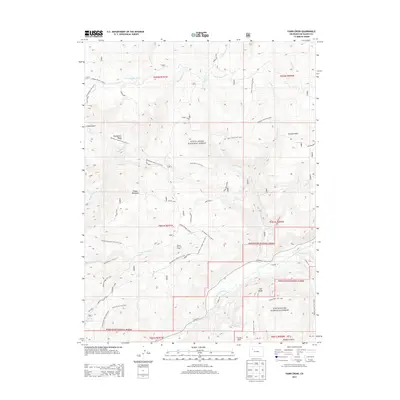
2013 Map of Fawn Creek
USGS Topo · Published 2013About this map
The North Fork White River carves through the southern portion of this territory within the White River National Forest, where high-altitude peaks and drainage systems dictate the layout of the land. High points like Sleepy Cat Peak, Ellison Mountain, and Old Baldy overlook a network of seasonal camps and ranching outposts, including Marci Camp and the aptly named Windy Bill Cow Camp. The map illustrates an economy tied to the landscape, with water management features such as the Coal Cr Feeder Ditch and the Big Lick Reservoir supporting the area's needs. An extensive system of trails, notably the East Beaver Ridge Trail 2236 and Pattison Park Trail 2292, connects remote basins like Big Beaver Basin and Pattison Park, providing a clear view of the logistical network used for forest management and livestock grazing during the early twenty-first century.
Find a feature on this map
64 named features on this map. Tap any name to fly to it.
Don’t see what you’re looking for? This feature index may not catch every label — zoom into the map to look around manually.
Map Details
Editions of this 2013 Fawn Creek Map
This is the sole edition of this map. No revisions or reprints were ever made.
Other maps of this area

1906 · Grand Hogback
USGS Topo · 1:125,000

1910 · Danforth Hills
USGS Topo · 1:125,000

1910 · Grand Hogback
USGS Topo · 1:125,000

1927 · Glenwood Springs
USGS Topo · 1:125,000

1930 · Glenwood Springs
USGS Topo · 1:125,000

1954 · Craig
USGS Topo · 1:250,000

1957 · Craig
USGS Topo · 1:250,000

1957 · Leadville
USGS Topo · 1:250,000

1958 · Craig
USGS Topo · 1:250,000

1959 · Leadville
USGS Topo · 1:250,000