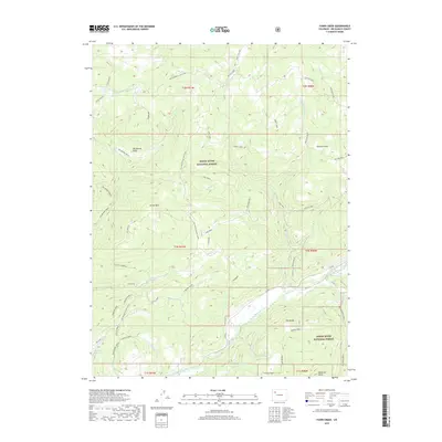
2019 Map of Fawn Creek
USGS Topo · Published 2019About this map
White River National Forest lands dominate this high-altitude landscape in Rio Blanco County, where the North Fork White River carves through the southern reaches. The terrain is defined by a series of prominent peaks and elevated parks, including Old Baldy, Ellison Mountain, and the heights of Sleepy Cat Peak. A network of forest roads, such as Co RD 8 and Co RD 12, provides access to these timbered slopes and grazing areas like Pattison Park and Crooks Park.
Find a feature on this map
58 named features on this map. Tap any name to fly to it.
Don’t see what you’re looking for? This feature index may not catch every label — zoom into the map to look around manually.
Map Details
Editions of this 2019 Fawn Creek Map
This is the sole edition of this map. No revisions or reprints were ever made.
Other maps of this area

1906 · Grand Hogback
USGS Topo · 1:125,000

1910 · Danforth Hills
USGS Topo · 1:125,000

1910 · Grand Hogback
USGS Topo · 1:125,000

1927 · Glenwood Springs
USGS Topo · 1:125,000

1930 · Glenwood Springs
USGS Topo · 1:125,000

1954 · Craig
USGS Topo · 1:250,000

1957 · Craig
USGS Topo · 1:250,000

1957 · Leadville
USGS Topo · 1:250,000

1958 · Craig
USGS Topo · 1:250,000

1959 · Leadville
USGS Topo · 1:250,000