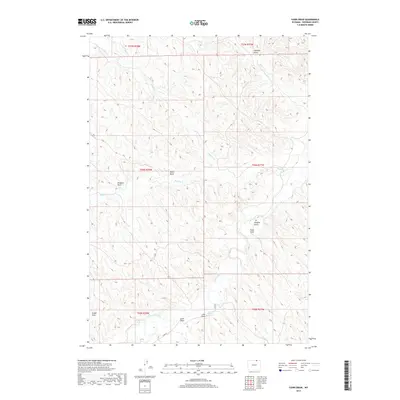
2017 Map of Fawn Draw
USGS Topo · Published 2017About this map
Clear Creek and its network of tributaries define the high plains drainage in this corner of Sheridan County. The landscape is characterized by a series of named ephemeral drainages and gulches, such as Chaffee Gulch and Fawn Draw, which segment the rolling terrain into distinct ridges. To the south, Cultra Reservoir serves as a critical water management point, collecting runoff from Lake Draw and Scott Draw. The map reveals a sparsely populated ranching environment where land is primarily organized by the Public Land Survey System, as evidenced by the township and range boundaries of t56n r78w and t57n r77w. A single thoroughfare, Co RD 70, provides the primary access through the southern half of the quadrangle, linking the watershed of Clear Creek with the northern draws like Whedon Draw and Olsen Draw that feed into Buffalo Cr.
Find a feature on this map
22 named features on this map. Tap any name to fly to it.
Don’t see what you’re looking for? This feature index may not catch every label — zoom into the map to look around manually.
Map Details
Editions of this 2017 Fawn Draw Map
This is the sole edition of this map. No revisions or reprints were ever made.
Other maps of this area

1955 · Sheridan
USGS Topo · 1:250,000

1958 · Sheridan
USGS Topo · 1:250,000

1962 · Sheridan
USGS Topo · 1:250,000

1971 · Cabin Creek NW
USGS Topo · 1:24,000

1971 · Cabin Creek SE
USGS Topo · 1:24,000
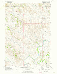
1971 · Cabin Creek NE
USGS Topo · 1:24,000

1971 · Arvada
USGS Topo · 1:24,000

1971 · Gardner Gulch
USGS Topo · 1:24,000
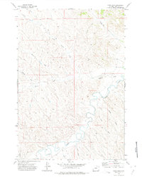
1971 · Fawn Draw
USGS Topo · 1:24,000

1971 · Leiter
USGS Topo · 1:24,000