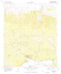
1971 Map of Fawnskin
USGS Topo · Published 1975About this map
Fawnskin serves as the focal point of this mountain landscape along the northern shores of Big Bear Lake, where development is concentrated near Grout Bay and the Stanfield Cutoff. The map illustrates a high-altitude wilderness shaped by mining and recreation, featuring the Big Bear Solar Observatory perched on the shoreline and the Big Bear Ranger Sta managing the surrounding San Bernardino National Forest.
Find a feature on this map
74 named features on this map. Tap any name to fly to it.
Don’t see what you’re looking for? This feature index may not catch every label — zoom into the map to look around manually.
Map Details
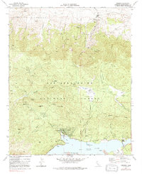
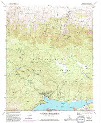
Editions of this 1971 Fawnskin Map
3 editions found
Other maps of this area

1899 · Redlands
USGS Topo · 1:62,500

1901 · Southern California Sheet No. 1
USGS Topo · 1:250,000

1901 · Redlands
USGS Topo · 1:62,500

1902 · Deep Creek
USGS Topo · 1:62,500

1902 · San Gorgonio
USGS Topo · 1:125,000

1904 · Southern California Sheet No. 1
USGS Topo · 1:250,000

1947 · Lucerne Valley
USGS Topo · 1:62,500

1949 · Lucerne Valley
USGS Topo · 1:62,500

1953 · San Bernardino
USGS Topo · 1:250,000
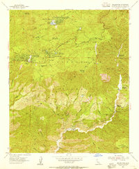
1953 · Keller Peak
USGS Topo · 1:24,000