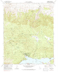
1971 Map of Fawnskin
USGS Topo · Published 1991About this map
Fawnskin sits on the north shore of Big Bear Lake within the San Bernardino National Forest, serving as a central hub for this high-altitude landscape. The map highlights the transition from lakeside recreation to the historic mining and ranching areas of Holcomb Valley to the north. Evidence of the region’s extractive history is found at the Greenlead Mine and Wright Mine, while the ghost of the gold rush era is marked at the Belleville (Site). Natural features such as Delamar Mtn and Bertha Pk dominate the skyline above complex drainage systems like Grout Creek and Van Dusen Canyon Creek. The presence of the Big Bear Solar Observatory on the tip of Windy Pt indicates the area's importance for scientific research, benefiting from the clear mountain air. Extensive camping facilities at Hanna Flat Campground and Fawnskin Campground illustrate the mid-century growth of outdoor tourism in the San Bernardino Mountains.
Find a feature on this map
64 named features on this map. Tap any name to fly to it.
Don’t see what you’re looking for? This feature index may not catch every label — zoom into the map to look around manually.
Map Details
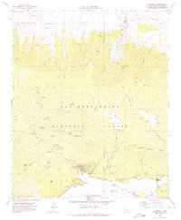
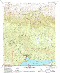
Editions of this 1971 Fawnskin Map
3 editions found
Other maps of this area

1899 · Redlands
USGS Topo · 1:62,500

1901 · Southern California Sheet No. 1
USGS Topo · 1:250,000

1901 · Redlands
USGS Topo · 1:62,500

1902 · Deep Creek
USGS Topo · 1:62,500

1902 · San Gorgonio
USGS Topo · 1:125,000

1904 · Southern California Sheet No. 1
USGS Topo · 1:250,000

1947 · Lucerne Valley
USGS Topo · 1:62,500

1949 · Lucerne Valley
USGS Topo · 1:62,500

1953 · San Bernardino
USGS Topo · 1:250,000
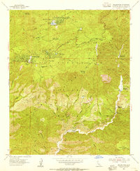
1953 · Keller Peak
USGS Topo · 1:24,000