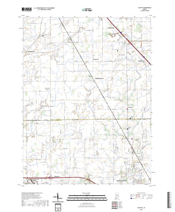
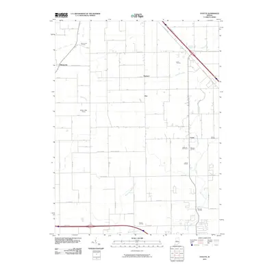
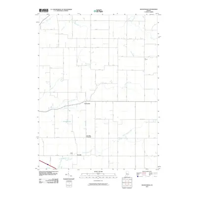
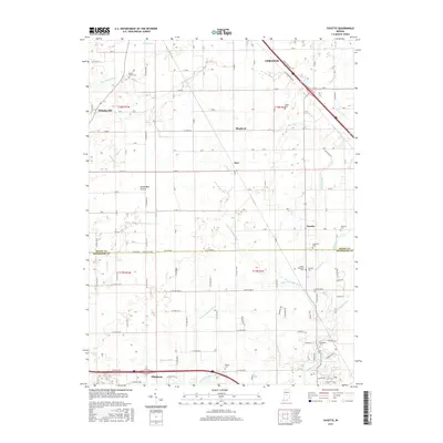
2022 Map of Fayette
USGS Topo · Published 2022About this map
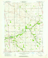
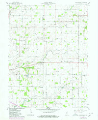
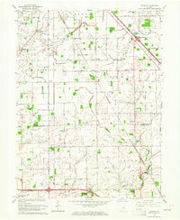
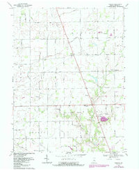
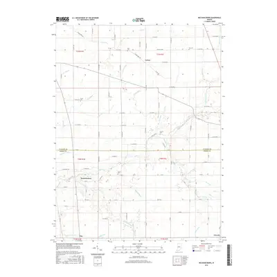
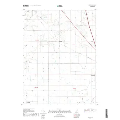
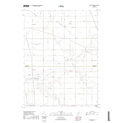
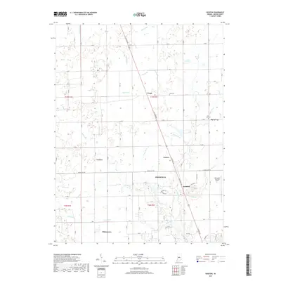
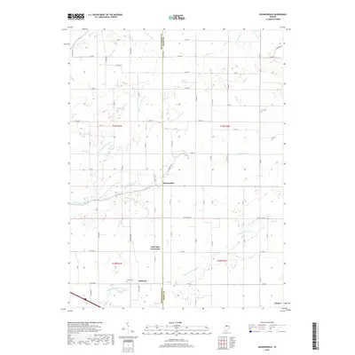
Seven Mile Prairie anchors this corner of Boone County, where the agricultural grid meets the headwaters of numerous watercourses. The landscape is defined by an intricate network of drainage systems such as Edlin Ditch, Wiley Thompson Ditch, and Main Edlin Ditch, essential for managing the fertile plains between Lebanon and Brownsburg. Smaller settlements like Fayette and Milledgeville appear as concentrated nodes along the local road network, while the expanding footprints of Zionsville and Whitestown signal modern growth in the eastern portion of the quadrangle.
Find a feature on this map
54 named features on this map. Tap any name to fly to it.
Don’t see what you’re looking for? This feature index may not catch every label — zoom into the map to look around manually.
Map Details
Editions of this 2022 Fayette Map
This is the sole edition of this map. No revisions or reprints were ever made.
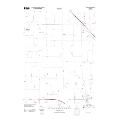
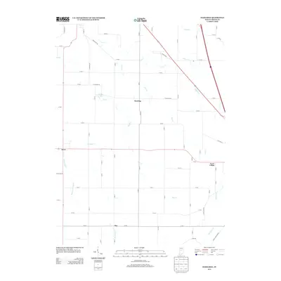
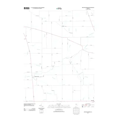
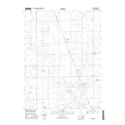
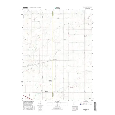
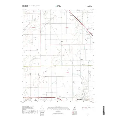
Historical Maps of Brownsburg Through Time
32 maps found
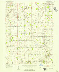
1953 Fayette
Boone County, IN
1953 Rosston
Boone County, IN
1961 Hazelrigg
Boone County, IN
1961 Mechanicsburg
Boone County, IN
1961 Shannondale
Boone County, IN
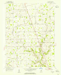
1963 Fayette
Boone County, IN
1969 Rosston
Boone County, IN
2010 Fayette
Boone County, IN
2010 Hazelrigg
Boone County, IN
2010 Mechanicsburg
Boone County, IN
2010 Rosston
Boone County, IN
2010 Shannondale
Boone County, IN
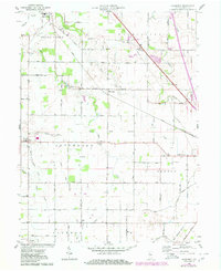
2013 Fayette
Boone County, IN
2013 Hazelrigg
Boone County, IN
2013 Mechanicsburg
Boone County, IN
2013 Rosston
Boone County, IN
2013 Shannondale
Boone County, IN
2016 Fayette
Boone County, IN
2016 Hazelrigg
Boone County, IN
2016 Mechanicsburg
Boone County, IN
2016 Rosston
Boone County, IN
2016 Shannondale
Boone County, IN
2019 Fayette
Boone County, IN
2019 Hazelrigg
Boone County, IN
2019 Mechanicsburg
Boone County, IN
2019 Rosston
Boone County, IN
2019 Shannondale
Boone County, IN
2022 Fayette
Boone County, IN
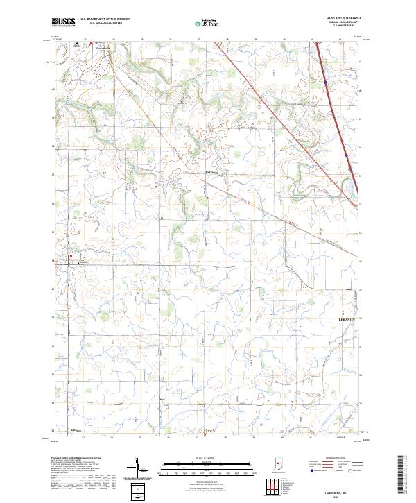
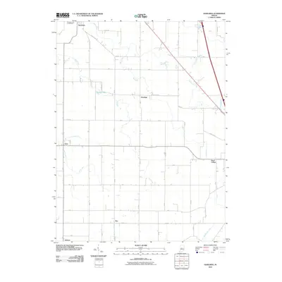
2022 Hazelrigg
Boone County, IN
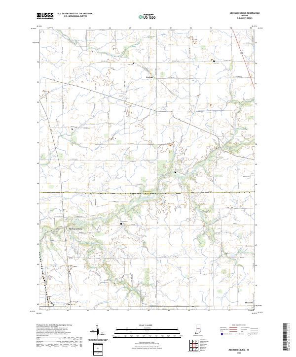
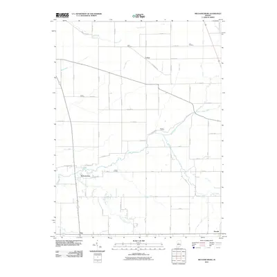
2022 Mechanicsburg
Boone County, IN
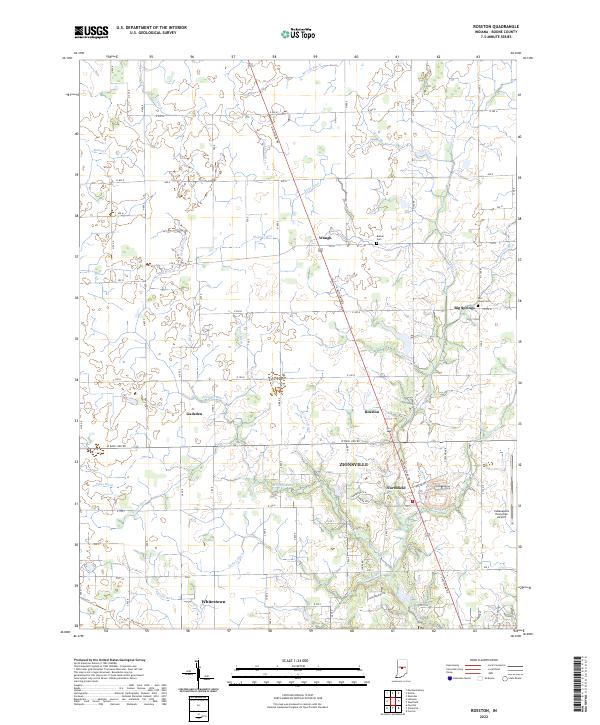
2022 Rosston
Boone County, IN
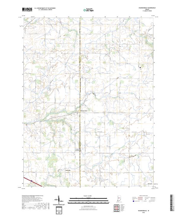
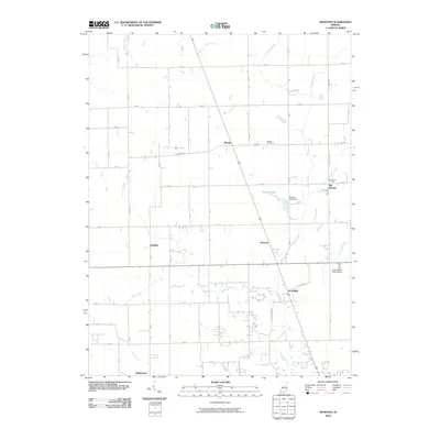
2022 Shannondale
Boone County, IN